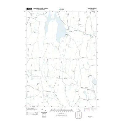
2013 Map of Alcove
USGS Topo · Published 2013About this map
Alcove Reservoir dominates the northern landscape, its expansive waters fed by Hannacrois Cr and Gulf Cr while surrounding hills like Mud Hill and Stanton Hill define the local topography. This corridor of Greene and Albany Counties preserves a dense network of burial grounds and small hamlets, reflecting generations of settlement along the watershed. The map records numerous family and community sites, including the Indian Fields Cem near Alcove and the Medway Congregational Christian Cem further south.
Find a feature on this map
114 named features on this map. Tap any name to fly to it.
Don’t see what you’re looking for? This feature index may not catch every label — zoom into the map to look around manually.
Map Details
Editions of this 2013 Alcove Map
This is the sole edition of this map. No revisions or reprints were ever made.
Other maps of this area

1893 · Coxsackie
USGS Topo · 1:62,500

1893 · Durham
USGS Topo · 1:62,500

1893 · Albany
USGS Topo · 1:62,500

1894 · Coxsackie
USGS Topo · 1:62,500

1894 · Durham
USGS Topo · 1:62,500

1895 · Albany
USGS Topo · 1:62,500

1898 · Albany
USGS Topo · 1:62,500

1900 · Berne
USGS Topo · 1:62,500

1903 · Berne
USGS Topo · 1:62,500

1927 · Albany
USGS Topo · 1:62,500