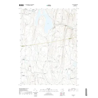
2019 Map of Alcove
USGS Topo · Published 2019About this map
Alcove Reservoir dominates the northern landscape of this region along the border of Albany and Greene Counties. The area is characterized by a series of small, dispersed settlements like Dormansville, Coeymans Hollow, and Grapeville, connected by a network of rural roads that navigate the rolling elevations of the Helderberg Mountains. Waterways such as Hannacroix Creek and Grapeville Cr cut through the terrain, historically shaping the locations of these early hamlets.
Find a feature on this map
104 named features on this map. Tap any name to fly to it.
Don’t see what you’re looking for? This feature index may not catch every label — zoom into the map to look around manually.
Map Details
Editions of this 2019 Alcove Map
This is the sole edition of this map. No revisions or reprints were ever made.
Other maps of this area

1893 · Coxsackie
USGS Topo · 1:62,500

1893 · Durham
USGS Topo · 1:62,500

1893 · Albany
USGS Topo · 1:62,500

1894 · Coxsackie
USGS Topo · 1:62,500

1894 · Durham
USGS Topo · 1:62,500

1895 · Albany
USGS Topo · 1:62,500

1898 · Albany
USGS Topo · 1:62,500

1900 · Berne
USGS Topo · 1:62,500

1903 · Berne
USGS Topo · 1:62,500

1927 · Albany
USGS Topo · 1:62,500