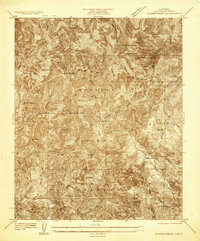
1935 Map of Alder Creek
USGS Topo · Published 1935About this map
The San Gabriel Mountains dominate this 1935 advance sheet, reflecting a landscape defined by steep drainages and early twentieth-century activity within the Angeles National Forest. Mining history is preserved in labels for the Falcon Mine and the Monte Cristo Mine, situated among high peaks like Pacifico Mtn and Granite Mtn. The map documents early mountain outposts such as Loomis Ranch and the Chilao R S, alongside numerous water sources like Fountainhead Spring and Sheep Camp Spring. The intricate drainage network of the Big Tujunga Creek and the Middle Fork of Alder Creek illustrates the complex hydrology of the range before modern development altered much of the surrounding Los Angeles basin.
Find a feature on this map
32 named features on this map. Tap any name to fly to it.
Don’t see what you’re looking for? This feature index may not catch every label — zoom into the map to look around manually.
Map Details
Editions of this 1935 Alder Creek Map
This is the sole edition of this map. No revisions or reprints were ever made.
Other maps of this area

1900 · Tujunga
USGS Topo · 1:62,500

1901 · Southern California Sheet No. 1
USGS Topo · 1:250,000

1903 · Rock Creek
USGS Topo · 1:62,500

1904 · Southern California Sheet No. 1
USGS Topo · 1:250,000
1934 · Cima Mesa
USGS Topo · 1:24,000
1934 · Mt. Lowe
USGS Topo · 1:24,000
1934 · Mt. Wilson
USGS Topo · 1:24,000
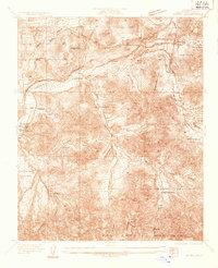
1934 · Acton
USGS Topo · 1:24,000
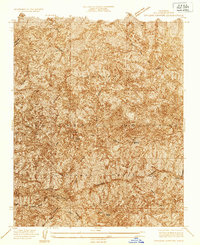
1934 · Chileno Canyon
USGS Topo · 1:24,000
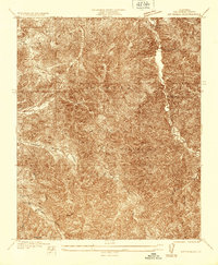
1935 · Mt. Emma
USGS Topo · 1:24,000