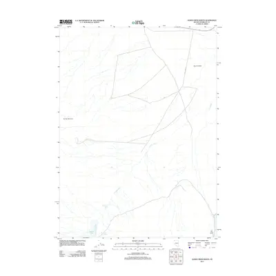
2011 Map of Alder Creek Ranch
USGS Topo · Published 2011About this map
Bog Hot Valley defines the remote interior of Humboldt County, Nevada, as documented in this 2011 survey. The landscape is characterized by its vital water sources in an otherwise arid basin, including the clusters at Three Springs and Warm Springs located near the southern edge of the valley. These springs and the ephemeral Gridley Lake provided necessary resources for the namesake Alder Creek Ranch, reflecting the long-standing importance of water rights in the Great Basin ranching economy.
Find a feature on this map
9 named features on this map. Tap any name to fly to it.
Don’t see what you’re looking for? This feature index may not catch every label — zoom into the map to look around manually.
Map Details
Editions of this 2011 Alder Creek Ranch Map
This is the sole edition of this map. No revisions or reprints were ever made.
Other maps of this area

1886 · Disaster
USGS Topo · 1:250,000

1893 · Disaster
USGS Topo · 1:250,000

1954 · Vya
USGS Topo · 1:250,000

1958 · Vya
USGS Topo · 1:250,000

1962 · Vya
USGS Topo · 1:250,000

1965 · Railroad Point
USGS Topo · 1:62,500

1965 · Idaho Canyon
USGS Topo · 1:62,500

1965 · Duffer Peak
USGS Topo · 1:62,500

1966 · Denio
USGS Topo · 1:62,500

1979 · Denio
USGS Topo · 1:100,000