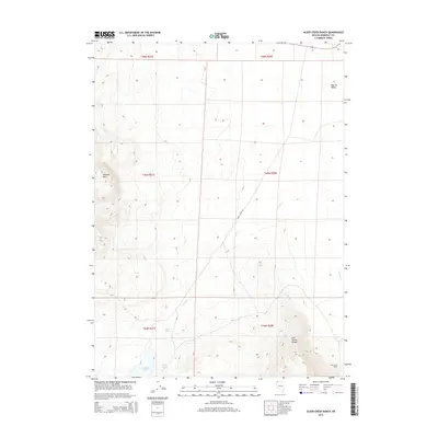
2015 Map of Alder Creek Ranch
USGS Topo · Published 2015About this map
Alder Creek Ranch serves as a lone human outpost in this high desert landscape of Humboldt County, Nevada. The terrain is defined by the high elevations of the Pine Forest Range and the prominent summit of McGhee Mtn, which overlook the expansive Bog Hot Valley to the north. Water sources are critical features in this arid environment, represented by Gridley Lake and the clusters of Warm Springs and Three Springs. These hydrologic points likely dictated the historical movement and settlement patterns of the region. Drainage from the mountains flows through Craine Cr and Alder Cr, while Knott Creek Rd provides the primary passage through the basin, connecting these remote landmarks in a region largely defined by its topography rather than its infrastructure.
Find a feature on this map
17 named features on this map. Tap any name to fly to it.
Don’t see what you’re looking for? This feature index may not catch every label — zoom into the map to look around manually.
Map Details
Editions of this 2015 Alder Creek Ranch Map
This is the sole edition of this map. No revisions or reprints were ever made.
Other maps of this area

1886 · Disaster
USGS Topo · 1:250,000

1893 · Disaster
USGS Topo · 1:250,000

1954 · Vya
USGS Topo · 1:250,000

1958 · Vya
USGS Topo · 1:250,000

1962 · Vya
USGS Topo · 1:250,000

1965 · Railroad Point
USGS Topo · 1:62,500

1965 · Idaho Canyon
USGS Topo · 1:62,500

1965 · Duffer Peak
USGS Topo · 1:62,500

1966 · Denio
USGS Topo · 1:62,500

1979 · Denio
USGS Topo · 1:100,000