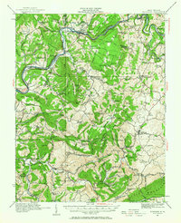
1921 Map of Alderson
USGS Topo · Published 1966About this map
The Greenbrier River carves a deep valley through this portion of West Virginia, serving as the primary corridor for the Chesapeake and Ohio RR. Along its banks, the settlement of Alderson emerges as a key hub, while smaller stations like Wolf Creek Sta and Pence Springs dot the line. The landscape is defined by the high ridges of Wolf Creek Mountain and Greenbrier Mountain, separating the river valley from the farming communities and limestone uplands to the south and east.
Find a feature on this map
114 named features on this map. Tap any name to fly to it.
Don’t see what you’re looking for? This feature index may not catch every label — zoom into the map to look around manually.
Map Details
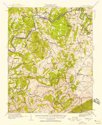
Editions of this 1921 Alderson Map
3 editions found

Other maps of this area

1887 · Hinton
USGS Topo · 1:125,000

1887 · Lewisburg
USGS Topo · 1:125,000

1890 · Dublin
USGS Topo · 1:125,000

1890 · Christiansburg
USGS Topo · 1:125,000

1891 · Lewisburg
USGS Topo · 1:125,000

1891 · Dublin
USGS Topo · 1:125,000

1892 · Hinton
USGS Topo · 1:125,000

1912 · Meadow Creek
USGS Topo · 1:48,000

1912 · Big Bend
USGS Topo · 1:62,500

1913 · Peterstown
USGS Topo · 1:48,000