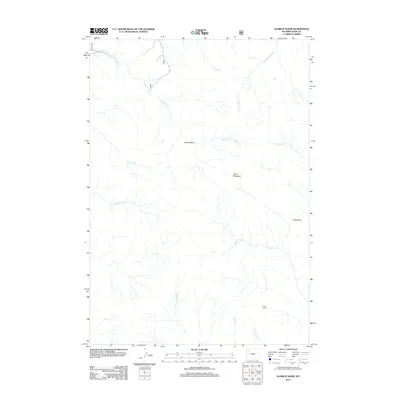
2012 Map of Aldrich Basin
USGS Topo · Published 2012About this map
Aldrich Basin is the central topographic focus of this high-elevation Park County landscape, which transitions from the steep slopes of Carter Mountain down into a network of drainage systems. The hydrology is complex, defined by the headwaters of Aldrich Cr in the north and the diverging flows of Piney Cr and Betty Cr to the south. A single human outpost, Betty Cabin, sits near the confluence of Left Fork Betty Cr, suggesting the seasonal use patterns typical of Wyoming's back-country ranching or forest management history. The terrain is marked by significant physical barriers, most notably Piney Pass in the east and the rugged divide between Little Boulder Cr and Crane Cr. This 2012 survey illustrates a remote wilderness character where land use is dictated by the extreme elevation and the natural watercourses that carve through the basin floor.
Find a feature on this map
14 named features on this map. Tap any name to fly to it.
Don’t see what you’re looking for? This feature index may not catch every label — zoom into the map to look around manually.
Map Details
Editions of this 2012 Aldrich Basin Map
This is the sole edition of this map. No revisions or reprints were ever made.
Other maps of this area

1893 · Ishawooa
USGS Topo · 1:125,000

1895 · Ishawooa
USGS Topo · 1:125,000

1899 · Ishawooa
USGS Topo · 1:125,000

1955 · Cody
USGS Topo · 1:250,000

1957 · Wapiti
USGS Topo · 1:62,500

1957 · Irish Rock
USGS Topo · 1:62,500

1958 · Cody
USGS Topo · 1:250,000

1962 · Cody
USGS Topo · 1:250,000
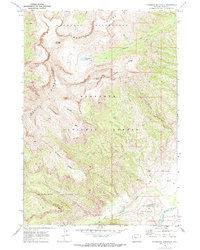
1970 · Ptarmigan Mountain
USGS Topo · 1:24,000
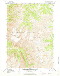
1970 · Needle Mountain
USGS Topo · 1:24,000