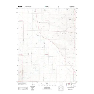
2013 Map of Aldrich Gulch
USGS Topo · Published 2013About this map
The Wet Mountain Valley floor and the surrounding high-altitude terrain dominate this 2013 survey of the Aldrich Gulch area. This landscape reflects a mix of ranching heritage and aviation accessibility, anchored by the Geary Ranch Airport and the Silver West Airport along the valley’s eastern reaches. The prominent drainage of Grape Cr carves through the central portion of the map, fed by a network of seasonal streams including Antelope Cr and Macey Cr.
Find a feature on this map
49 named features on this map. Tap any name to fly to it.
Don’t see what you’re looking for? This feature index may not catch every label — zoom into the map to look around manually.
Map Details
Editions of this 2013 Aldrich Gulch Map
This is the sole edition of this map. No revisions or reprints were ever made.
Other maps of this area

1889 · Canon City
USGS Topo · 1:125,000

1889 · Huerfano Park
USGS Topo · 1:125,000

1892 · Huerfano Park
USGS Topo · 1:125,000

1892 · Canon City
USGS Topo · 1:125,000

1954 · Mount Tyndall
USGS Topo · 1:24,000

1954 · Rosita
USGS Topo · 1:24,000

1954 · Trinidad
USGS Topo · 1:250,000

1954 · Pueblo
USGS Topo · 1:250,000

1955 · Westcliffe
USGS Topo · 1:24,000

1955 · Trinidad
USGS Topo · 1:250,000