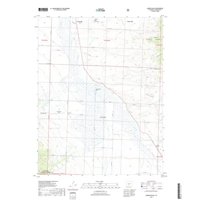
2019 Map of Aldrich Gulch
USGS Topo · Published 2019About this map
The high-elevation Wet Mountain Valley dominates this landscape, where the neighboring towns of Westcliffe and Silver Cliff sit at the northern edge of the quadrangle. This 2019 survey captures the transition from the broad valley floor, drained by Grape Cr and its many tributaries like Antelope Cr, into the higher terrain of the Rosita Hills and San Isabel National Forest. Genealogists and local historians can locate the Silver Cliff Cem and Hope Cem, as well as small local aviation hubs like Silver West Airport and the Geary Ranch Airport. The map documents a complex network of county roads, such as Co RD 129 and Schoolfield Rd, that connect the valley ranches to the mountain foothills, providing a clear view of the modern settlement patterns in Custer County.
Find a feature on this map
53 named features on this map. Tap any name to fly to it.
Don’t see what you’re looking for? This feature index may not catch every label — zoom into the map to look around manually.
Map Details
Editions of this 2019 Aldrich Gulch Map
This is the sole edition of this map. No revisions or reprints were ever made.
Other maps of this area

1889 · Canon City
USGS Topo · 1:125,000

1889 · Huerfano Park
USGS Topo · 1:125,000

1892 · Huerfano Park
USGS Topo · 1:125,000

1892 · Canon City
USGS Topo · 1:125,000

1954 · Mount Tyndall
USGS Topo · 1:24,000

1954 · Rosita
USGS Topo · 1:24,000

1954 · Trinidad
USGS Topo · 1:250,000

1954 · Pueblo
USGS Topo · 1:250,000

1955 · Westcliffe
USGS Topo · 1:24,000

1955 · Trinidad
USGS Topo · 1:250,000