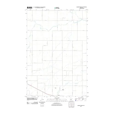
2010 Map of Aldrich North
USGS Topo · Published 2010About this map
Aldrich and the tiny settlement of Central anchor this landscape of meandering watercourses in central Minnesota. The local drainage pattern is defined by the convergence of several systems, including the Wing River, Leaf River, Redeye River, and Partridge River. This network of tributaries underscores the area's transition between wetlands and agricultural plots, tied together by a strict grid of section roads like County Hwy-118 and County Hwy-26. South of the town center, the Aldrich Dam and the Mother of Sorrows Cemetery provide tangible markers of the community’s social and infrastructure history. The map captures the region at a time when traditional rural road networks remained the primary arteries for local transport, connecting isolated farmsteads to the regional hubs of Wadena County.
Find a feature on this map
38 named features on this map. Tap any name to fly to it.
Don’t see what you’re looking for? This feature index may not catch every label — zoom into the map to look around manually.
Map Details
Editions of this 2010 Aldrich North Map
This is the sole edition of this map. No revisions or reprints were ever made.
Other maps of this area

1953 · Brainerd
USGS Topo · 1:250,000

1957 · Brainerd
USGS Topo · 1:250,000

1958 · Brainerd
USGS Topo · 1:250,000

1965 · Brainerd
USGS Topo · 1:250,000

1966 · Staples NE
USGS Topo · 1:24,000

1966 · Staples
USGS Topo · 1:24,000

1966 · Aldrich North
USGS Topo · 1:24,000

1966 · Aldrich South
USGS Topo · 1:24,000

1969 · Bertha
USGS Topo · 1:24,000

1969 · Verndale
USGS Topo · 1:24,000