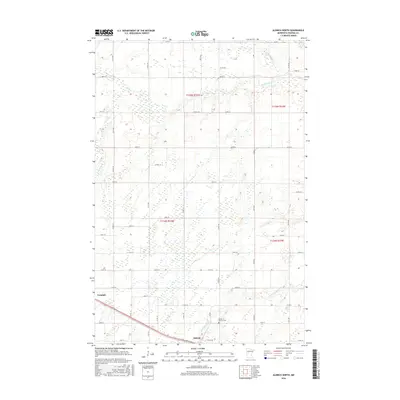
2016 Map of Aldrich North
USGS Topo · Published 2016About this map
Verndale and Aldrich anchor the southern reaches of this Wadena County landscape, situated along a busy corridor of rail and road infrastructure. The terrain is defined by a dense network of wetlands and small waterways, where the Leaf River and Redeye River wind through the northern sections while the Partridge River and Wing River drain the southern plains. These rivers historically influenced the placement of early townships, including t135n r34w and t134n r33w.
Find a feature on this map
45 named features on this map. Tap any name to fly to it.
Don’t see what you’re looking for? This feature index may not catch every label — zoom into the map to look around manually.
Map Details
Editions of this 2016 Aldrich North Map
This is the sole edition of this map. No revisions or reprints were ever made.
Other maps of this area

1953 · Brainerd
USGS Topo · 1:250,000

1957 · Brainerd
USGS Topo · 1:250,000

1958 · Brainerd
USGS Topo · 1:250,000

1965 · Brainerd
USGS Topo · 1:250,000

1966 · Staples NE
USGS Topo · 1:24,000

1966 · Staples
USGS Topo · 1:24,000

1966 · Aldrich North
USGS Topo · 1:24,000

1966 · Aldrich South
USGS Topo · 1:24,000

1969 · Bertha
USGS Topo · 1:24,000

1969 · Verndale
USGS Topo · 1:24,000