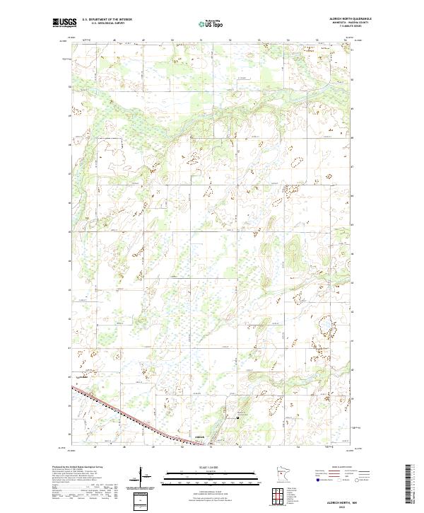
2022 Map of Aldrich North
USGS Topo · Published 2022About this map
The lowlands and wetlands of Wadena County define this landscape where the Leaf River and Redeye River wind through the northern sections of the map. This area of central Minnesota is marked by a intricate network of county roads and section lines that organize the rural farmland between the larger river systems. In the southern reaches, the Partridge River flows near the settlement of Aldrich, where the local street grid including Central Ave N and Ash St NE meets the regional corridor. To the west, the community of Verndale sits along the rail line and major thoroughfare, serving as a focal point for the surrounding agricultural townships. For those researching local burial sites and family history, the Mother of Sorrows Cem is a primary landmark situated near the junction of several county routes.
Find a feature on this map
44 named features on this map. Tap any name to fly to it.
Don’t see what you’re looking for? This feature index may not catch every label — zoom into the map to look around manually.
Map Details
Editions of this 2022 Aldrich North Map
This is the sole edition of this map. No revisions or reprints were ever made.
Other maps of this area

1953 · Brainerd
USGS Topo · 1:250,000

1957 · Brainerd
USGS Topo · 1:250,000

1958 · Brainerd
USGS Topo · 1:250,000

1965 · Brainerd
USGS Topo · 1:250,000

1966 · Staples NE
USGS Topo · 1:24,000

1966 · Staples
USGS Topo · 1:24,000

1966 · Aldrich North
USGS Topo · 1:24,000

1966 · Aldrich South
USGS Topo · 1:24,000

1969 · Bertha
USGS Topo · 1:24,000

1969 · Verndale
USGS Topo · 1:24,000