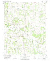
1956 Map of Aldrich
USGS Topo · Published 1974About this map
The Little Sac River defines the landscape of this mid-century Missouri survey, winding through a patchwork of family-named bluffs and hollows along the Polk and Dade County lines. The settlement of Aldrich stands as the primary hub, situated near Hubbard Cem and the river's edge before the significant alterations of later reservoir projects. The map captures the agricultural and early industrial character of the region, evidenced by the Bear Creek Quarry and numerous rural houses of worship including Mt Zion Ch and Pleasant Ridge Ch. Local topography is meticulously detailed, highlighting landmarks such as Knothead Hill, Tommy Bluff, and the prominent Pea Ridge Hollow. This documentation preserves the location of many smaller family burial grounds, including McDaniel Cem and Trimble Cem, which are essential for genealogical research in this part of the Missouri River Basin.
Find a feature on this map
43 named features on this map. Tap any name to fly to it.
Don’t see what you’re looking for? This feature index may not catch every label — zoom into the map to look around manually.
Map Details
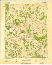
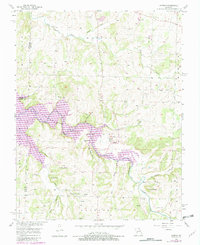
Editions of this 1956 Aldrich Map
3 editions found
Other maps of this area

1884 · Springfield
USGS Topo · 1:125,000

1884 · Bolivar
USGS Topo · 1:125,000

1886 · Stockton
USGS Topo · 1:125,000

1886 · Greenfield
USGS Topo · 1:125,000

1886 · Springfield
USGS Topo · 1:125,000

1888 · Greenfield
USGS Topo · 1:125,000

1892 · Bolivar
USGS Topo · 1:125,000

1950 · Cliquot
USGS Topo · 1:24,000
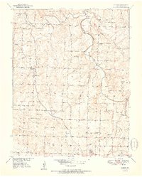
1951 · Cliquot
USGS Topo · 1:24,000

1954 · Springfield
USGS Topo · 1:250,000