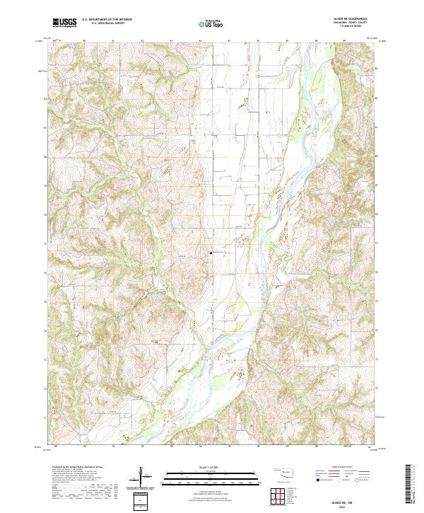
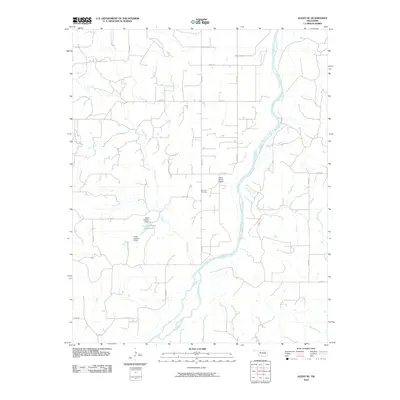
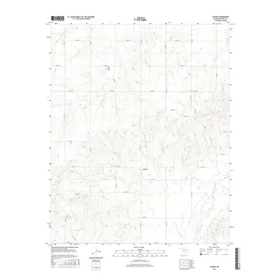
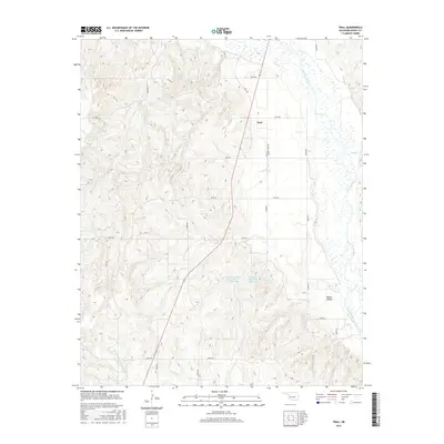
2022 Map of Aledo NE
USGS Topo · Published 2022About this map
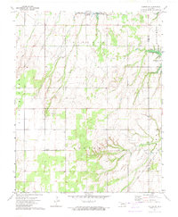
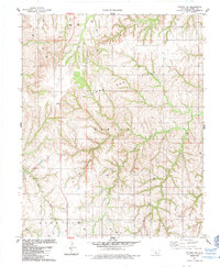
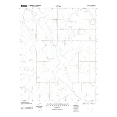
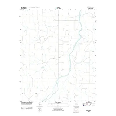
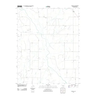
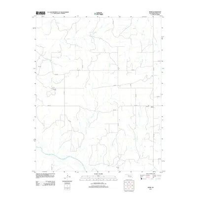
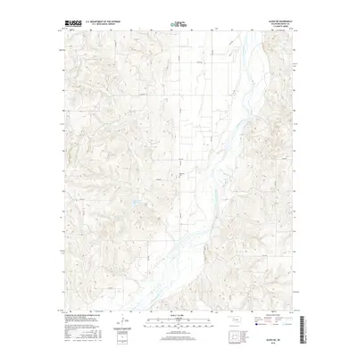
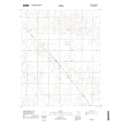
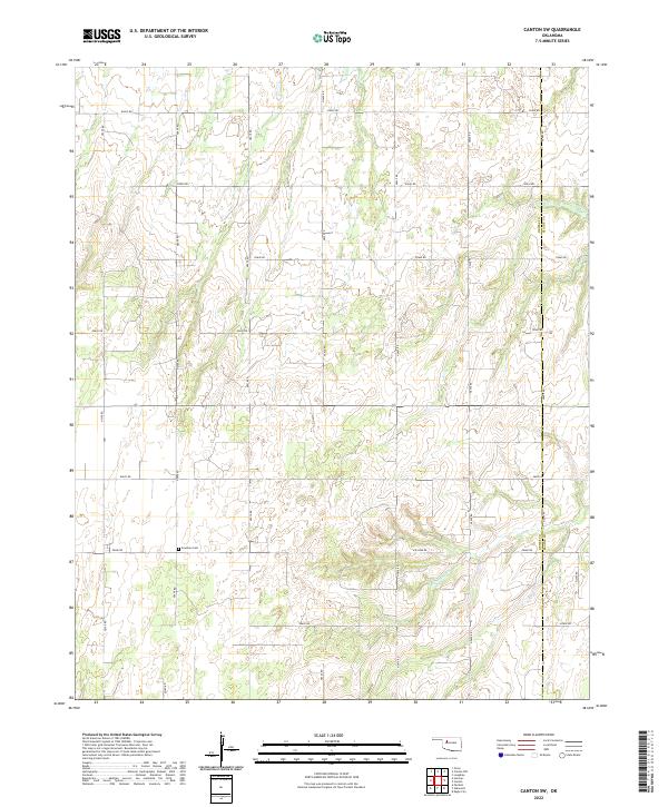
The Canadian River meanders through this section of Dewey County, carving a wide alluvial path through the rolling plains. This modern survey illustrates a landscape defined by a rigid section-line road network, including routes such as e0710 RD and n2210 RD, which facilitate movement between the region's agricultural tracts. Evidence of local history and family legacy is found at Raymond Cem, located centrally near the junction of several section lines.
Find a feature on this map
26 named features on this map. Tap any name to fly to it.
Don’t see what you’re looking for? This feature index may not catch every label — zoom into the map to look around manually.
Map Details
Editions of this 2022 Aledo NE Map
This is the sole edition of this map. No revisions or reprints were ever made.
Historical Maps of Dewey County Through Time
55 maps found
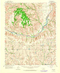
1962 Aledo
Dewey County, OK
1969 Lenora
Dewey County, OK
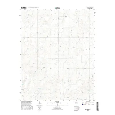
1969 Mutual SW
Dewey County, OK
1972 Canton SW
Dewey County, OK
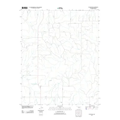
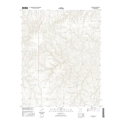
1972 Hucmac
Dewey County, OK
1985 Aledo NE
Dewey County, OK
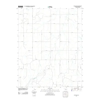
1985 Parallel
Dewey County, OK
1985 Putnam NW
Dewey County, OK
1985 Webb
Dewey County, OK
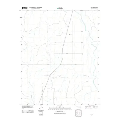
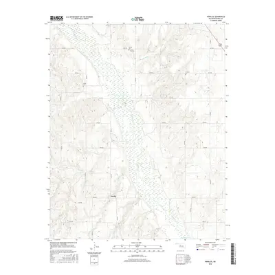
1987 Trail
Dewey County, OK
2009 Canton SW
Dewey County, OK
2010 Aledo NE
Dewey County, OK
2010 Hucmac
Dewey County, OK
2010 Lenora
Dewey County, OK
2010 Mutual SW
Dewey County, OK
2010 Parallel
Dewey County, OK
2010 Putnam NW
Dewey County, OK
2010 Trail
Dewey County, OK
2010 Webb
Dewey County, OK
2012 Aledo NE
Dewey County, OK
2012 Canton SW
Dewey County, OK
2012 Hucmac
Dewey County, OK
2012 Lenora
Dewey County, OK
2012 Mutual SW
Dewey County, OK
2012 Parallel
Dewey County, OK
2012 Putnam NW
Dewey County, OK
2012 Trail
Dewey County, OK
2012 Webb
Dewey County, OK
2016 Aledo NE
Dewey County, OK
2016 Canton SW
Dewey County, OK
2016 Hucmac
Dewey County, OK
2016 Lenora
Dewey County, OK
2016 Mutual SW
Dewey County, OK
2016 Parallel
Dewey County, OK
2016 Putnam NW
Dewey County, OK
2016 Trail
Dewey County, OK
2016 Webb
Dewey County, OK
2018 Aledo NE
Dewey County, OK
2018 Canton SW
Dewey County, OK
2018 Hucmac
Dewey County, OK
2018 Lenora
Dewey County, OK
2018 Mutual SW
Dewey County, OK
2018 Parallel
Dewey County, OK
2018 Putnam NW
Dewey County, OK
2018 Trail
Dewey County, OK
2018 Webb
Dewey County, OK
2022 Aledo NE
Dewey County, OK
2022 Canton SW
Dewey County, OK
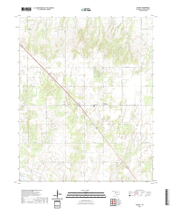
2022 Hucmac
Dewey County, OK
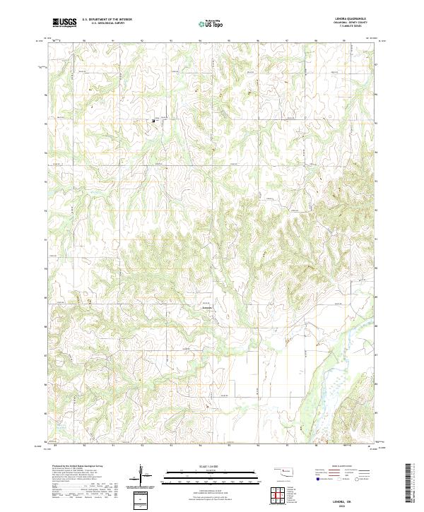
2022 Lenora
Dewey County, OK
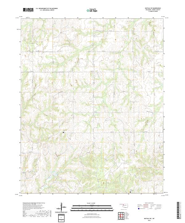
2022 Mutual SW
Dewey County, OK
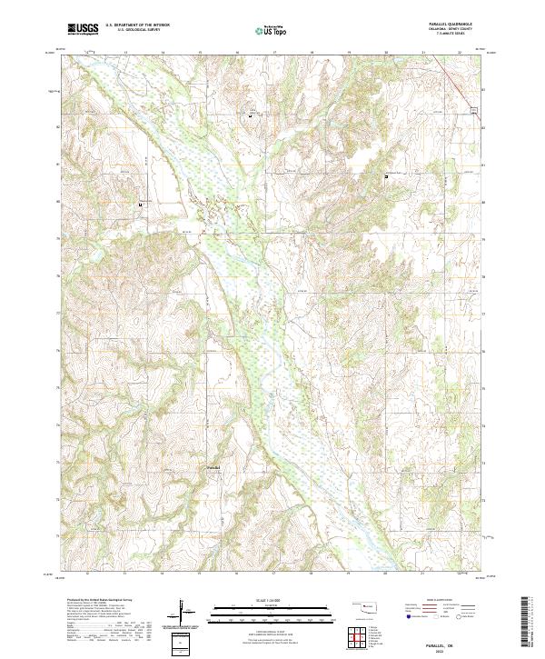
2022 Parallel
Dewey County, OK
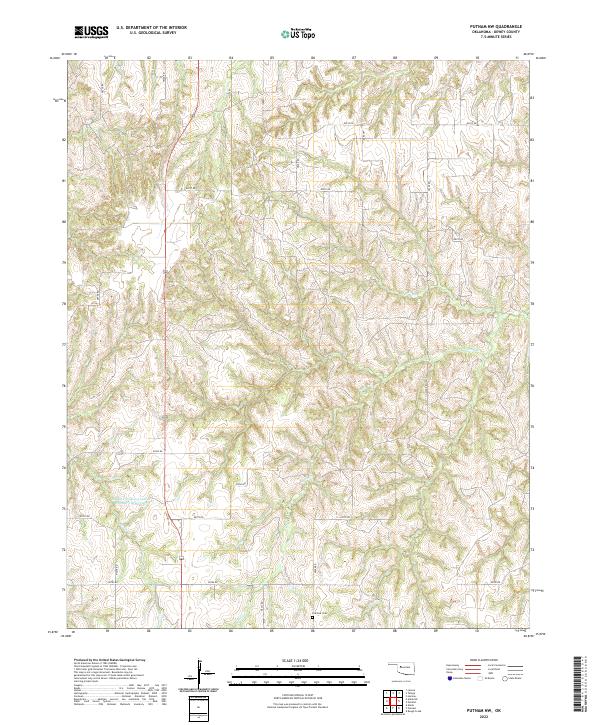
2022 Putnam NW
Dewey County, OK
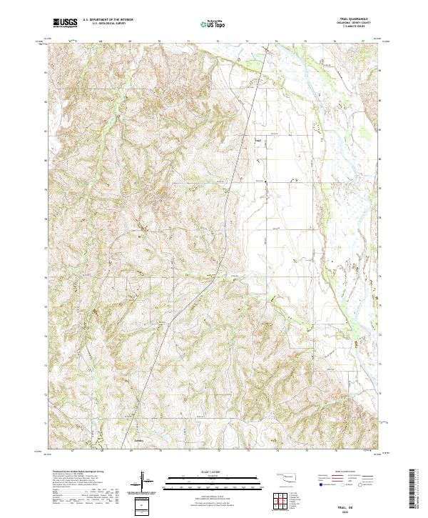
2022 Trail
Dewey County, OK
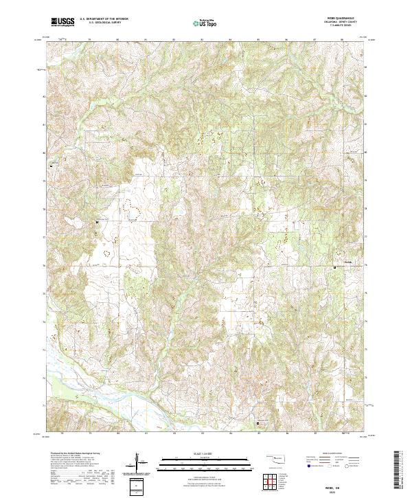
2022 Webb
Dewey County, OK