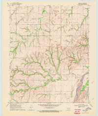
1969 Map of Mutual SW
USGS Topo · Published 1971About this map
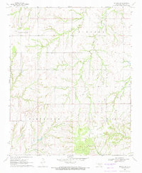
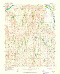
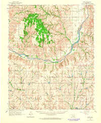
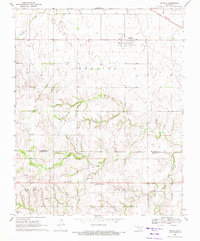
The Oklahoma high plains in Dewey County come into focus through the drainage patterns of Kizer Creek and its many tributaries. This 1969 field check reveals a landscape transitioning between traditional ranching and a growing petroleum economy, evidenced by several Oil Well sites dotting the terrain. The social geography of the era is anchored by small rural centers such as the Cane Creek Ch and the Bloomfield Cem, which serve as vital landmarks for genealogists tracing early families in the Cleveland and Haddon townships.
Find a feature on this map
15 named features on this map. Tap any name to fly to it.
Don’t see what you’re looking for? This feature index may not catch every label — zoom into the map to look around manually.
Map Details
Editions of this 1969 Mutual SW Map
This is the sole edition of this map. No revisions or reprints were ever made.
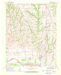
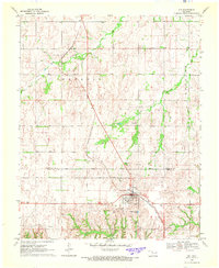
Other maps of this area

1955 · Clinton
USGS Topo · 1:250,000

1955 · Woodward
USGS Topo · 1:250,000

1957 · Clinton
USGS Topo · 1:250,000

1958 · Woodward
USGS Topo · 1:250,000
1961 · Leedey
USGS Topo · 1:62,500
1962 · Aledo
USGS Topo · 1:62,500
1969 · Mutual
USGS Topo · 1:24,000
1969 · Lenora
USGS Topo · 1:24,000
1969 · Camargo
USGS Topo · 1:24,000
1969 · Vici
USGS Topo · 1:24,000