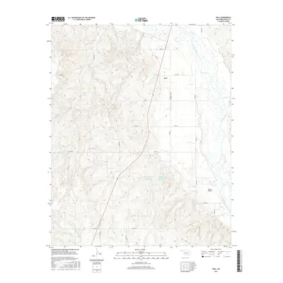
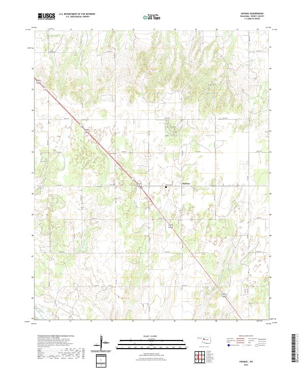
1972 Map of Hucmac
USGS Topo · Published 1986About this map
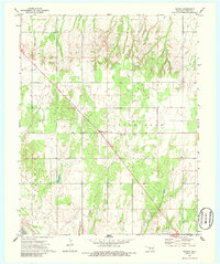
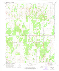
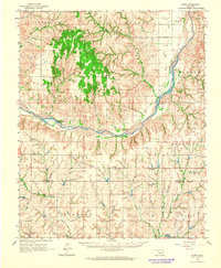
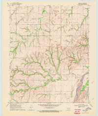
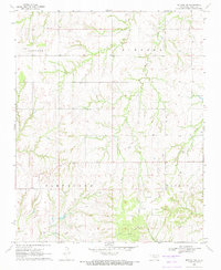
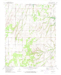
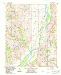
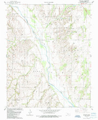
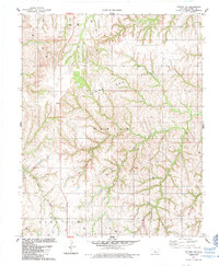
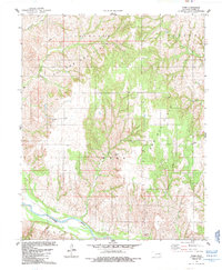
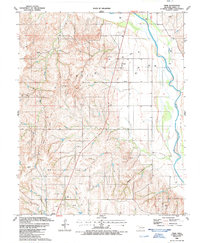
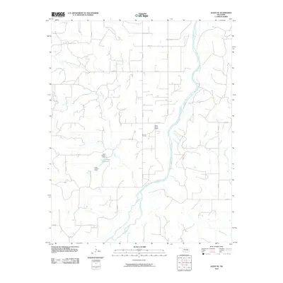
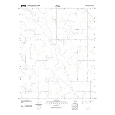
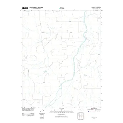
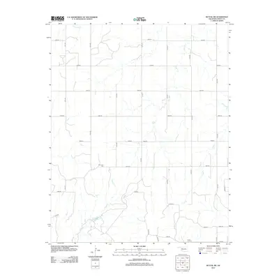
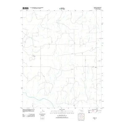
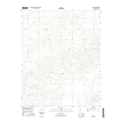
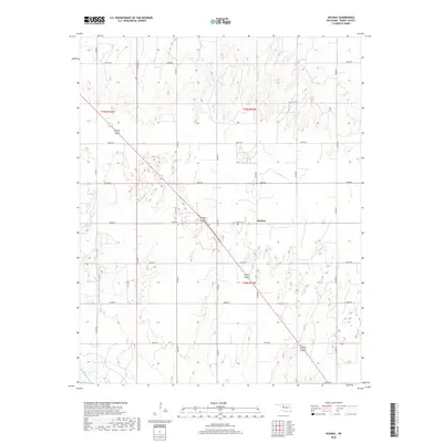
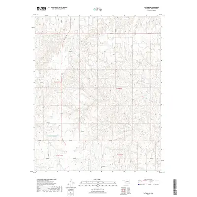
Little Robe terrain defines this portion of the Oklahoma plains in the early 1970s, where the landscape is split by the diagonal course of Little Robe Creek. This survey captures a sparsely populated region of western Oklahoma, centered on the small settlement of Hucmac. The presence of an Oil Field and scattered Oil Wells across the northern sections points to the region's mid-century petroleum development. Local community life is anchored by the Church of Christ and the nearby Munice Cem. To the southwest, the quadrangle reaches the broad banks of the Canadian R, a major geographical marker for the border area between Dewey and Ellis counties. The map provides a clear look at the intersection of natural watercourses and the straight-line section roads that organized the rural prairie.
Find a feature on this map
10 named features on this map. Tap any name to fly to it.
Don’t see what you’re looking for? This feature index may not catch every label — zoom into the map to look around manually.
Map Details
Editions of this 1972 Hucmac Map
2 editions found
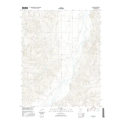
Historical Maps of Dewey County Through Time
55 maps found
1962 Aledo
Dewey County, OK
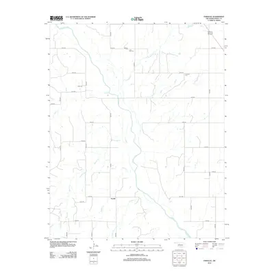
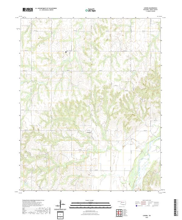
1969 Lenora
Dewey County, OK
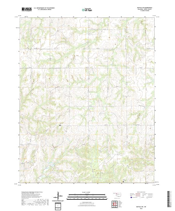
1969 Mutual SW
Dewey County, OK
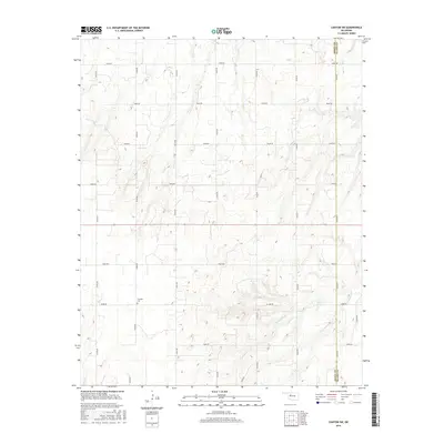
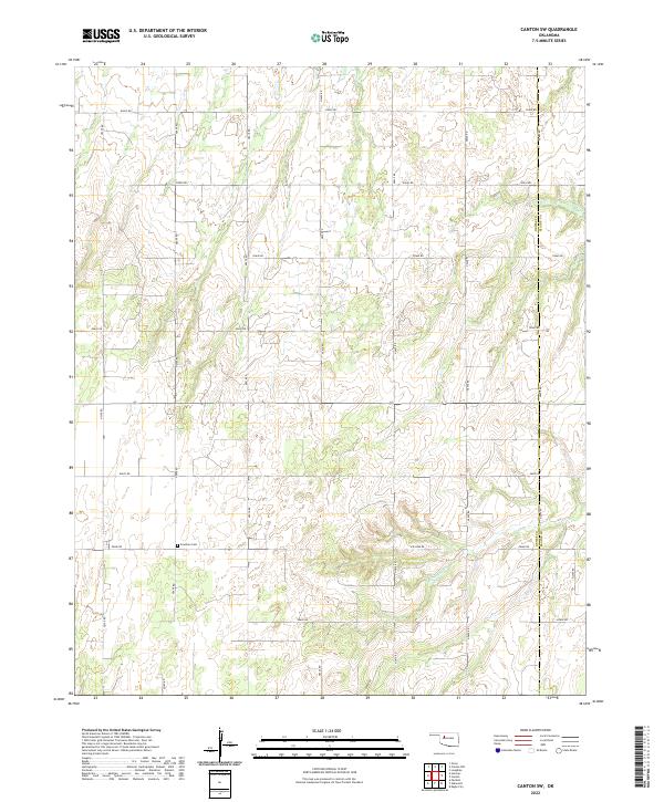
1972 Canton SW
Dewey County, OK
1972 Hucmac
Dewey County, OK
1985 Aledo NE
Dewey County, OK
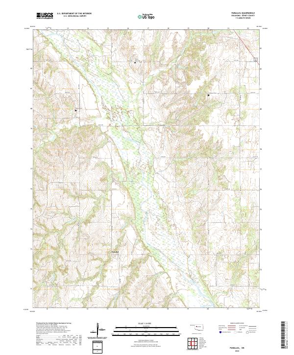
1985 Parallel
Dewey County, OK
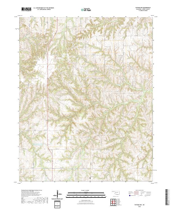
1985 Putnam NW
Dewey County, OK
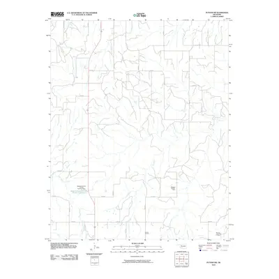
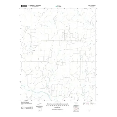
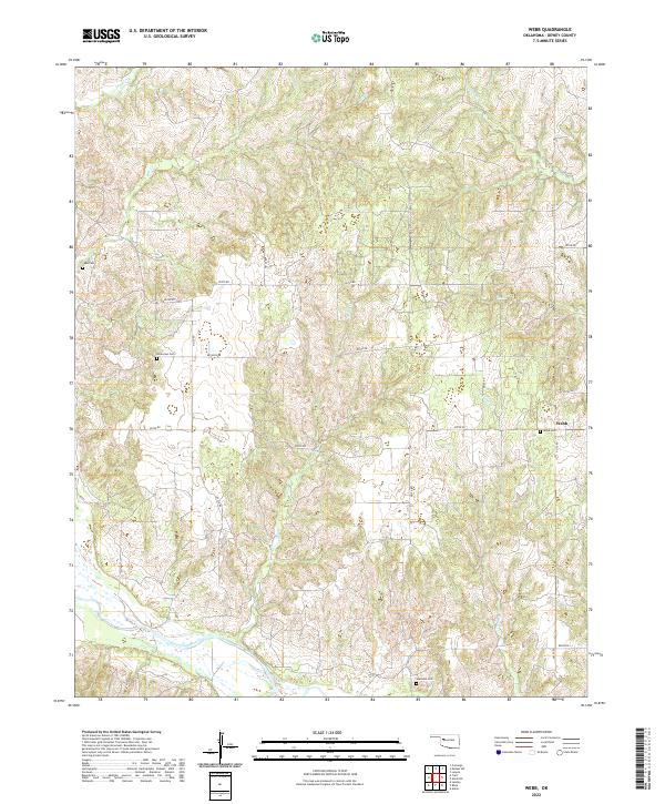
1985 Webb
Dewey County, OK
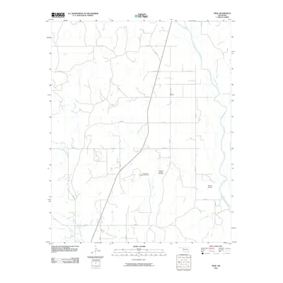
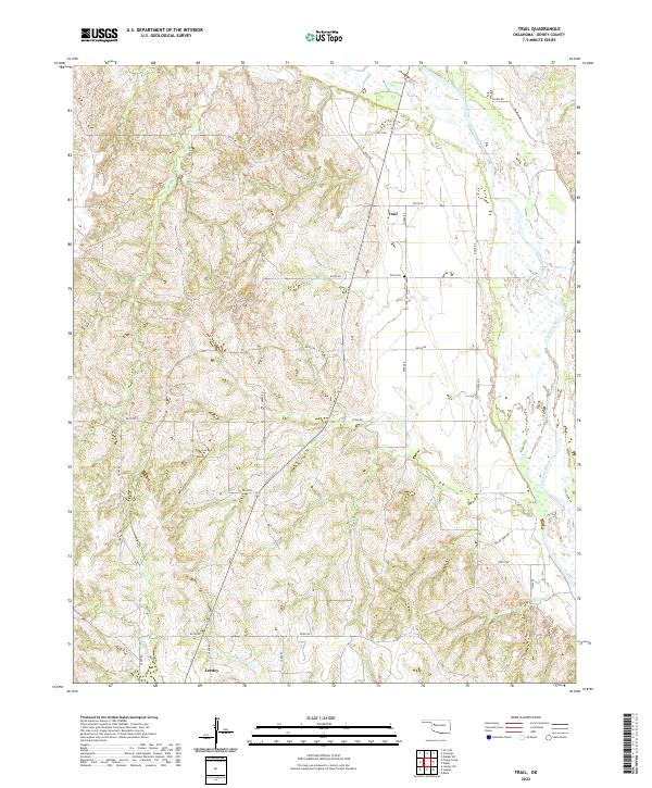
1987 Trail
Dewey County, OK
2009 Canton SW
Dewey County, OK
2010 Aledo NE
Dewey County, OK
2010 Hucmac
Dewey County, OK
2010 Lenora
Dewey County, OK
2010 Mutual SW
Dewey County, OK
2010 Parallel
Dewey County, OK
2010 Putnam NW
Dewey County, OK
2010 Trail
Dewey County, OK
2010 Webb
Dewey County, OK
2012 Aledo NE
Dewey County, OK
2012 Canton SW
Dewey County, OK
2012 Hucmac
Dewey County, OK
2012 Lenora
Dewey County, OK
2012 Mutual SW
Dewey County, OK
2012 Parallel
Dewey County, OK
2012 Putnam NW
Dewey County, OK
2012 Trail
Dewey County, OK
2012 Webb
Dewey County, OK
2016 Aledo NE
Dewey County, OK
2016 Canton SW
Dewey County, OK
2016 Hucmac
Dewey County, OK
2016 Lenora
Dewey County, OK
2016 Mutual SW
Dewey County, OK
2016 Parallel
Dewey County, OK
2016 Putnam NW
Dewey County, OK
2016 Trail
Dewey County, OK
2016 Webb
Dewey County, OK
2018 Aledo NE
Dewey County, OK
2018 Canton SW
Dewey County, OK
2018 Hucmac
Dewey County, OK
2018 Lenora
Dewey County, OK
2018 Mutual SW
Dewey County, OK
2018 Parallel
Dewey County, OK
2018 Putnam NW
Dewey County, OK
2018 Trail
Dewey County, OK
2018 Webb
Dewey County, OK
2022 Aledo NE
Dewey County, OK
2022 Canton SW
Dewey County, OK
2022 Hucmac
Dewey County, OK
2022 Lenora
Dewey County, OK
2022 Mutual SW
Dewey County, OK
2022 Parallel
Dewey County, OK
2022 Putnam NW
Dewey County, OK
2022 Trail
Dewey County, OK
2022 Webb
Dewey County, OK