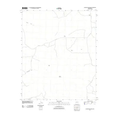
2010 Map of Alegres Mountain
USGS Topo · Published 2010About this map
Alegres Mountain anchors this high-elevation landscape in Catron County, New Mexico, where ranching and local cemeteries define the sparse human presence. The geography is marked by seasonal drainage patterns such as San Ignacio Creek and the notable Pancake Draw to the northwest. Human activity is largely organized around early ranching sites like W Bar Ranch and the small settlement at Garnett.
Find a feature on this map
13 named features on this map. Tap any name to fly to it.
Don’t see what you’re looking for? This feature index may not catch every label — zoom into the map to look around manually.
Map Details
Editions of this 2010 Alegres Mountain Map
This is the sole edition of this map. No revisions or reprints were ever made.
Other maps of this area

1954 · Saint Johns
USGS Topo · 1:250,000

1957 · Saint Johns
USGS Topo · 1:250,000

1958 · Saint Johns
USGS Topo · 1:250,000

1962 · Saint Johns
USGS Topo · 1:250,000

1967 · Omega
USGS Topo · 1:24,000
1967 · Red Flats
USGS Topo · 1:24,000
1967 · Pie Town
USGS Topo · 1:24,000
1981 · Cox Peak
USGS Topo · 1:24,000
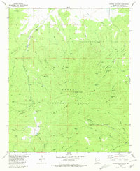
1981 · Mangas Mountain
USGS Topo · 1:24,000
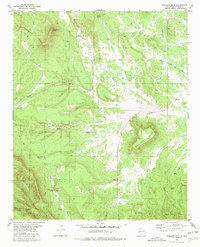
1981 · Wallace Mesa
USGS Topo · 1:24,000