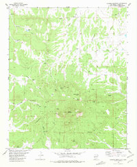
1981 Map of Alegres Mountain
USGS Topo · Published 1981About this map
Alegres Mountain dominates this high-altitude landscape in Catron County, where the Continental Divide winds through a series of springs, draws, and remote ranching infrastructure. Based on aerial photography from 1969 and field-checked in 1975, the map reflects a region defined by water management and transit, featuring numerous catchment points like South Well, Cottonwood Spring, and Brannon Tank. Traceable local history is marked by small upland burial sites, including Johnson Cem and Divide Cem, alongside namesake locations such as Dees Flat and the W Bar Ranch. The survey also notes mid-century industrial interests with the presence of a Uranium Well and scattered Drill Hole markers. Primitive Jeep Trails provide the primary access through the steep terrain of Hubble Draw and Pancake Draw, highlighting the isolated nature of this high-desert environment.
Find a feature on this map
38 named features on this map. Tap any name to fly to it.
Don’t see what you’re looking for? This feature index may not catch every label — zoom into the map to look around manually.
Map Details
Editions of this 1981 Alegres Mountain Map
This is the sole edition of this map. No revisions or reprints were ever made.
Other maps of this area

1954 · Saint Johns
USGS Topo · 1:250,000

1957 · Saint Johns
USGS Topo · 1:250,000

1958 · Saint Johns
USGS Topo · 1:250,000

1962 · Saint Johns
USGS Topo · 1:250,000

1967 · Omega
USGS Topo · 1:24,000
1967 · Red Flats
USGS Topo · 1:24,000
1967 · Pie Town
USGS Topo · 1:24,000
1981 · Cox Peak
USGS Topo · 1:24,000
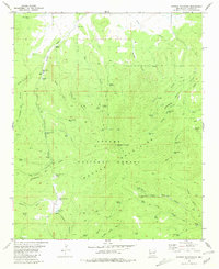
1981 · Mangas Mountain
USGS Topo · 1:24,000
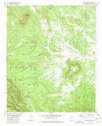
1981 · Wallace Mesa
USGS Topo · 1:24,000