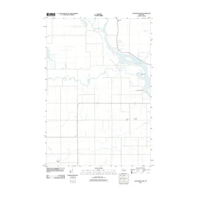
2010 Map of Alexander Lake
USGS Topo · Published 2010About this map
Alexander Lake serves as a central hydrological feature where the Wisconsin River meets several smaller tributaries in Lincoln County. This 2010 survey by the U.S. Geological Survey captures the complex network of watercourses that define the local landscape, including the confluence of the Copper River and the New Wood River. Industrial and infrastructure history is evident at the Alexander WP200 Dam, which regulates the flow near Rock Island. Local heritage and genealogy are grounded in the locations of the Methodist Cemetery in the southwest and the Snow Hill Cemetery near Snow Hill in the southeast. The map reveals how the terrain, marked by elevations like Ninemile Hill, influences the winding paths of Devil Creek and the Little Rib River as they drain toward the larger river systems of northern Wisconsin.
Find a feature on this map
14 named features on this map. Tap any name to fly to it.
Don’t see what you’re looking for? This feature index may not catch every label — zoom into the map to look around manually.
Map Details
Editions of this 2010 Alexander Lake Map
This is the sole edition of this map. No revisions or reprints were ever made.
Other maps of this area

1899 · Wausau
USGS Topo · 1:125,000

1902 · Wausau
USGS Topo · 1:125,000

1902 · Marathon
USGS Topo · 1:125,000

1950 · Tomahawk
USGS Topo · 1:48,000

1950 · Spirit Falls
USGS Topo · 1:48,000

1951 · Merrill
USGS Topo · 1:48,000

1951 · Hamburg
USGS Topo · 1:48,000

1952 · Spirit Falls
USGS Topo · 1:48,000

1952 · Tomahawk
USGS Topo · 1:48,000

1954 · Iron Mountain
USGS Topo · 1:250,000