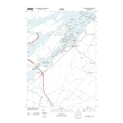
2013 Map of Alexandria Bay
USGS Topo · Published 2013About this map
The Saint Lawrence River dominates this landscape, serving as a critical maritime corridor punctuated by the American Narrows and an intricate archipelago of the Thousand Islands. Navigational aids like the Harbor Island Light and Shoal Lighthouse highlight the river's importance to shipping and recreational travel, further managed by the R. T. Clayton Vessel Traffic Control near Collins Landing. On the mainland, the village of Alexandria Bay serves as a central hub, surrounded by smaller communities such as Edgewood Park, Westminster Park, and Omar.
Find a feature on this map
165 named features on this map. Tap any name to fly to it.
Don’t see what you’re looking for? This feature index may not catch every label — zoom into the map to look around manually.
Map Details
Editions of this 2013 Alexandria Bay Map
This is the sole edition of this map. No revisions or reprints were ever made.
Other maps of this area

1900 · Clayton
USGS Topo · 1:62,500

1903 · Grindstone
USGS Topo · 1:62,500

1903 · Clayton
USGS Topo · 1:62,500

1903 · Alexandria Bay
USGS Topo · 1:62,500

1903 · Theresa
USGS Topo · 1:62,500

1942 · Clayton
USGS Topo · 1:24,000

1943 · Thousand Island Park
USGS Topo · 1:31,680

1943 · Redwood
USGS Topo · 1:31,680

1943 · Clayton
USGS Topo · 1:31,680

1943 · Lafargeville
USGS Topo · 1:31,680