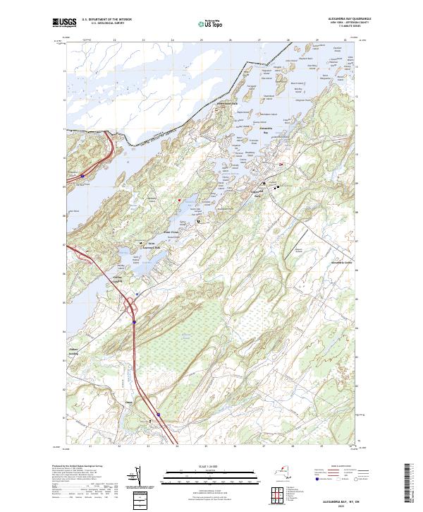
2023 Map of Alexandria Bay
USGS Topo · Published 2023About this map
The Saint Lawrence River serves as a busy international corridor, separating the United States from Canada along this island-rich stretch of the Thousand Islands. The village of Alexandria Bay stands as the primary hub, surrounded by a dense network of resort communities and landings such as Westminster Park, Saint Lawrence Park, and Edgewood Park. This 2023 survey illustrates a landscape deeply shaped by maritime geography and early 20th-century seasonal development, where points like Iroquois Point and Dingman Point define the rugged shoreline.
Find a feature on this map
140 named features on this map. Tap any name to fly to it.
Don’t see what you’re looking for? This feature index may not catch every label — zoom into the map to look around manually.
Map Details
Editions of this 2023 Alexandria Bay Map
This is the sole edition of this map. No revisions or reprints were ever made.
Other maps of this area

1900 · Clayton
USGS Topo · 1:62,500

1903 · Grindstone
USGS Topo · 1:62,500

1903 · Clayton
USGS Topo · 1:62,500

1903 · Alexandria Bay
USGS Topo · 1:62,500

1903 · Theresa
USGS Topo · 1:62,500

1942 · Clayton
USGS Topo · 1:24,000

1943 · Thousand Island Park
USGS Topo · 1:31,680

1943 · Redwood
USGS Topo · 1:31,680

1943 · Clayton
USGS Topo · 1:31,680

1943 · Lafargeville
USGS Topo · 1:31,680