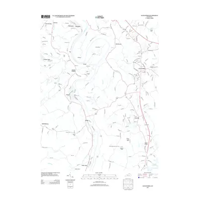
2013 Map of Alexandria
USGS Topo · Published 2013About this map
Alexandria and the surrounding Kenton and Campbell County landscape are defined by the winding course of the Licking River, which carves dramatic oxbows at Grants Bend, Big Bend, and Duckbill Bend. The 2013 topography reveals a dense network of historic family cemeteries, such as Culbertson Cem, Armstrong Cem, and Pruett Mardis Cem, providing a detailed record of early settlement patterns in this part of Kentucky. The river corridor is further marked by engineering and community landmarks, including Grants Tunnel and the local social hub at Ryland Lakes Golf Course.
Find a feature on this map
207 named features on this map. Tap any name to fly to it.
Don’t see what you’re looking for? This feature index may not catch every label — zoom into the map to look around manually.
Map Details
Editions of this 2013 Alexandria Map
This is the sole edition of this map. No revisions or reprints were ever made.
Other maps of this area

1898 · East Cincinnati
USGS Topo · 1:62,500

1914 · East Cincinnati
USGS Topo · 1:62,500

1914 · West Cincinnati
USGS Topo · 1:62,500

1929 · Alexandria
USGS Topo · 1:48,000

1936 · Alexandria
USGS Topo · 1:62,500

1950 · Independence
USGS Topo · 1:24,000

1950 · Walton
USGS Topo · 1:24,000

1950 · Covington
USGS Topo · 1:24,000

1952 · Newport
USGS Topo · 1:24,000

1953 · Withamsville
USGS Topo · 1:24,000