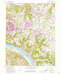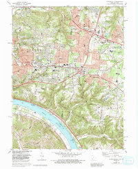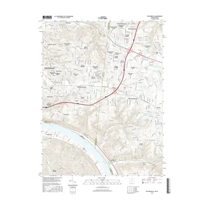
1953 Map of Withamsville
USGS Topo · Published 1955About this map
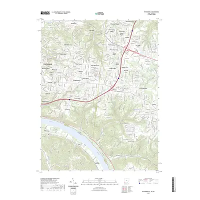
The Ohio River carves the southern boundary of this 1953 landscape, separating the townships of Anderson, Union, and Pierce in Ohio from Campbell County, Kentucky. The river corridor is a hub of mid-century infrastructure, featuring the Chesapeake and Ohio railroad tracks and the riverfront communities of Silver Grove and Melbourne. Inland, the terrain is defined by a dense network of ridges and creek valleys, including Eightmile Creek and Ninemile Creek, which dictated the early settlement patterns of villages like Withamsville and Cherry Grove.
Find a feature on this map
56 named features on this map. Tap any name to fly to it.
Don’t see what you’re looking for? This feature index may not catch every label — zoom into the map to look around manually.
Map Details
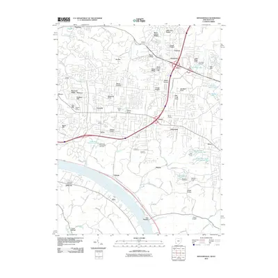
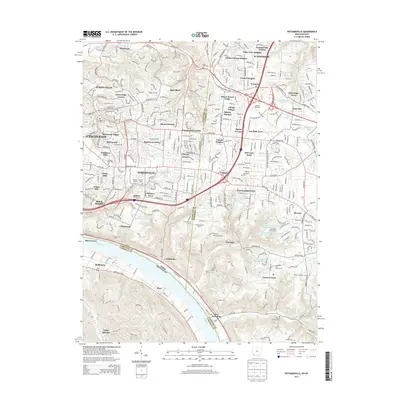
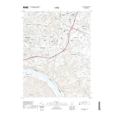
Editions of this 1953 Withamsville Map
This is the sole edition of this map. No revisions or reprints were ever made.
Historical Maps of Cincinnati Through Time
8 maps found