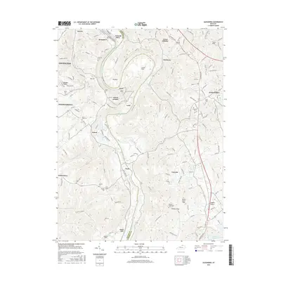
2016 Map of Alexandria
USGS Topo · Published 2016About this map
The Licking River carves a dramatic path through the landscape of Northern Kentucky, defining the boundary between Kenton and Campbell counties. Large meanders like Grants Bend and Big Bend dominate the central terrain, where the historic Grants Tunnel is situated near the settlement of Grant. This region is characterized by a high density of family and community burial grounds, including the Culbertson Cem, Pruett Mardis Cem, and Saint Mary's Cem near the town of Alexandria.
Find a feature on this map
57 named features on this map. Tap any name to fly to it.
Don’t see what you’re looking for? This feature index may not catch every label — zoom into the map to look around manually.
Map Details
Editions of this 2016 Alexandria Map
This is the sole edition of this map. No revisions or reprints were ever made.
Other maps of this area

1898 · East Cincinnati
USGS Topo · 1:62,500

1914 · East Cincinnati
USGS Topo · 1:62,500

1914 · West Cincinnati
USGS Topo · 1:62,500

1929 · Alexandria
USGS Topo · 1:48,000

1936 · Alexandria
USGS Topo · 1:62,500

1950 · Independence
USGS Topo · 1:24,000

1950 · Walton
USGS Topo · 1:24,000

1950 · Covington
USGS Topo · 1:24,000

1952 · Newport
USGS Topo · 1:24,000

1953 · Withamsville
USGS Topo · 1:24,000