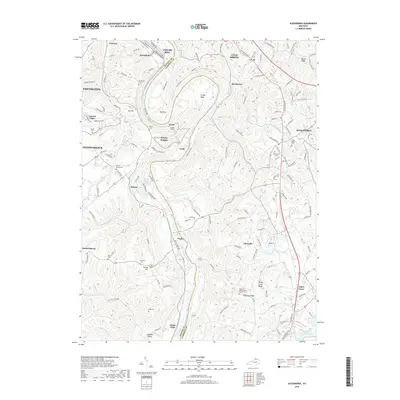
2019 Map of Alexandria
USGS Topo · Published 2019About this map
The Licking River carves a dramatic, winding path through Northern Kentucky, defining the border between Kenton and Campbell counties. This landscape is characterized by its significant bends, most notably Grants Bend and Big Bend, where the CSX Railroad utilizes the Grants Tunnel to navigate the difficult terrain. The map reveals a high density of small rural cemeteries such as Rapp Cem, Simmons Cem, and Culbertson Cem, which are invaluable for genealogists tracing family histories in the communities of Visalia, Claryville, and Ryland Heights.
Find a feature on this map
70 named features on this map. Tap any name to fly to it.
Don’t see what you’re looking for? This feature index may not catch every label — zoom into the map to look around manually.
Map Details
Editions of this 2019 Alexandria Map
This is the sole edition of this map. No revisions or reprints were ever made.
Other maps of this area

1898 · East Cincinnati
USGS Topo · 1:62,500

1914 · East Cincinnati
USGS Topo · 1:62,500

1914 · West Cincinnati
USGS Topo · 1:62,500

1929 · Alexandria
USGS Topo · 1:48,000

1936 · Alexandria
USGS Topo · 1:62,500

1950 · Independence
USGS Topo · 1:24,000

1950 · Walton
USGS Topo · 1:24,000

1950 · Covington
USGS Topo · 1:24,000

1952 · Newport
USGS Topo · 1:24,000

1953 · Withamsville
USGS Topo · 1:24,000