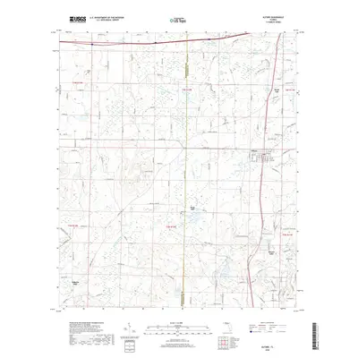
2018 Map of Alford
USGS Topo · Published 2018About this map
Alford serves as a central hub in this Jackson County landscape, where the town grid meets the regional rail line and major thoroughfares. The surrounding terrain is defined by an intricate network of wetlands and namesake basins, such as Bellamy Bay, Peterson Bay, and Zannie White Bay. These low-lying features, often interspersed with named ponds like Sand Pond and Three Sisters Pond, suggest a history of seasonal drainage and localized land use that shaped the placement of early homesteads and mills.
Find a feature on this map
153 named features on this map. Tap any name to fly to it.
Don’t see what you’re looking for? This feature index may not catch every label — zoom into the map to look around manually.
Map Details
Editions of this 2018 Alford Map
This is the sole edition of this map. No revisions or reprints were ever made.
Other maps of this area

1950 · Chipley
USGS Topo · 1:24,000

1950 · Wausau
USGS Topo · 1:24,000

1950 · Gap Lake
USGS Topo · 1:24,000

1951 · Chipley
USGS Topo · 1:24,000

1951 · Wausau
USGS Topo · 1:24,000

1951 · Gap Pond
USGS Topo · 1:24,000

1952 · Kynesville
USGS Topo · 1:24,000

1952 · Alford SE
USGS Topo · 1:24,000

1952 · Cottondale East
USGS Topo · 1:24,000

1952 · Cottondale West
USGS Topo · 1:24,000