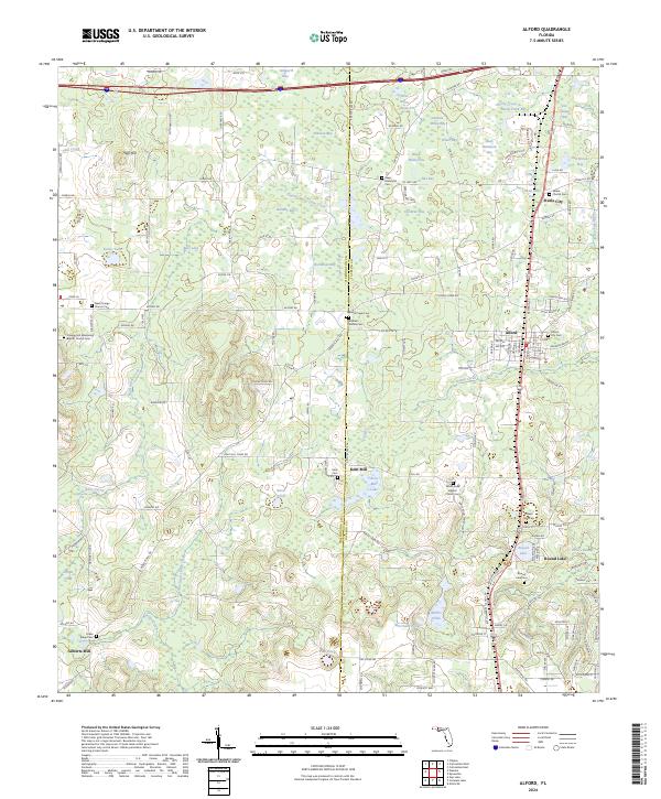
2024 Map of Alford
USGS Topo · Published 2024About this map
The town of Alford serves as a central hub in this Jackson County landscape, where the agricultural and timber patterns of Florida's panhandle remain visible. To the north, Steele City and the Steele City Bay waterway sit near the Salem Church Cem, while the southern reaches are defined by the community of Round Lake and the industrial history implied by Kent Mill. The terrain is remarkably aquatic, characterized by numerous "bays" — low-lying wetlands and cypress strands — such as Peterson Bay, Buchanan Bay, and Zannie White Bay.
Find a feature on this map
170 named features on this map. Tap any name to fly to it.
Don’t see what you’re looking for? This feature index may not catch every label — zoom into the map to look around manually.
Map Details
Editions of this 2024 Alford Map
This is the sole edition of this map. No revisions or reprints were ever made.
Other maps of this area

1950 · Chipley
USGS Topo · 1:24,000

1950 · Wausau
USGS Topo · 1:24,000

1950 · Gap Lake
USGS Topo · 1:24,000

1951 · Chipley
USGS Topo · 1:24,000

1951 · Wausau
USGS Topo · 1:24,000

1951 · Gap Pond
USGS Topo · 1:24,000

1952 · Kynesville
USGS Topo · 1:24,000

1952 · Alford SE
USGS Topo · 1:24,000

1952 · Cottondale East
USGS Topo · 1:24,000

1952 · Cottondale West
USGS Topo · 1:24,000