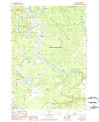
1983 Map of Alfred
USGS Topo · Published 1984About this map
The village of Alfred serves as a central hub on this 1980s landscape, positioned near the Littlefield River and the local York County Jail. The map reflects a blend of early industrial sites and mid-century infrastructure, with the Sanford and Eastern Railroad cutting through the western portion and the Sanford Municipal Airport occupying a significant footprint to the south. In the eastern sector, the Massabesic Experimental Forest dominates the terrain, showcasing managed timberland between Lyman and Sanford.
Find a feature on this map
47 named features on this map. Tap any name to fly to it.
Don’t see what you’re looking for? This feature index may not catch every label — zoom into the map to look around manually.
Map Details
Editions of this 1983 Alfred Map
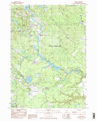
2 editions found
Other maps of this area

1891 · Berwick
USGS Topo · 1:62,500

1891 · Kennebunk
USGS Topo · 1:62,500

1891 · Buxton
USGS Topo · 1:62,500

1891 · Newfield
USGS Topo · 1:62,500

1892 · Buxton
USGS Topo · 1:62,500

1893 · Kennebunk
USGS Topo · 1:62,500

1893 · Berwick
USGS Topo · 1:62,500

1893 · Buxton
USGS Topo · 1:62,500

1893 · Newfield
USGS Topo · 1:62,500

1898 · Kennebunk
USGS Topo · 1:62,500