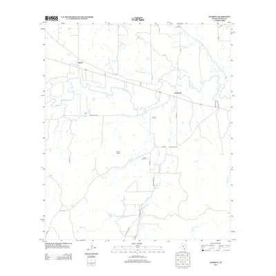
2012 Map of Algerita
USGS Topo · Published 2012About this map
The San Saba River meanders through this portion of San Saba County, defining the agricultural and ranching character of the landscape. Small settlements like Algerita and Harkeyville serve as local hubs along the transit corridor of the modern highway, while the hinterlands are dotted with family-named landmarks such as the Ellis Ranch and the prominent elevations of Harkey Knobs. The area is drained by a network of waterways including Richland Springs Cr, China Creek, and Wallace Cr, which carved the undulating terrain long before the establishment of the local road system.
Find a feature on this map
42 named features on this map. Tap any name to fly to it.
Don’t see what you’re looking for? This feature index may not catch every label — zoom into the map to look around manually.
Map Details
Editions of this 2012 Algerita Map
This is the sole edition of this map. No revisions or reprints were ever made.
Other maps of this area

1885 · San Saba
USGS Topo · 1:125,000

1894 · San Saba
USGS Topo · 1:125,000

1925 · San Saba 1-c
USGS Topo · 1:48,000

1928 · Goldthwaite
USGS Topo · 1:62,500

1930 · Richland Springs
USGS Topo · 1:62,500

1931 · Bend
USGS Topo · 1:62,500

1948 · Richland Springs
USGS Topo · 1:62,500

1948 · Goldthwaite
USGS Topo · 1:62,500
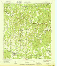
1950 · Richland Springs
USGS Topo · 1:62,500
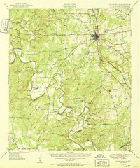
1950 · Goldthwaite
USGS Topo · 1:62,500