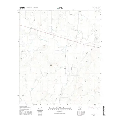
2016 Map of Algerita
USGS Topo · Published 2016About this map
San Saba and the neighboring settlements of Algerita and Harkeyville define the populated corridor of this Hill Country landscape. The San Saba River meanders across the central terrain, fed by a network of drainage ways including Richland Springs Cr and China Cr. The topography shifts from the river valley to more prominent elevations at Harkey Knobs and the southern Bannister Hollow. This 2016 survey documents the enduring rural infrastructure of the region, marked by family and community landmarks such as Wallace Creek Cem, China Creek Cem, and Davidson Cem. The transportation network is a mix of state and local routes, with Co RD 204 and Ranch Rd 1030 connecting these small communities across the varied Texas terrain.
Find a feature on this map
47 named features on this map. Tap any name to fly to it.
Don’t see what you’re looking for? This feature index may not catch every label — zoom into the map to look around manually.
Map Details
Editions of this 2016 Algerita Map
This is the sole edition of this map. No revisions or reprints were ever made.
Other maps of this area

1885 · San Saba
USGS Topo · 1:125,000

1894 · San Saba
USGS Topo · 1:125,000

1925 · San Saba 1-c
USGS Topo · 1:48,000

1928 · Goldthwaite
USGS Topo · 1:62,500

1930 · Richland Springs
USGS Topo · 1:62,500

1931 · Bend
USGS Topo · 1:62,500

1948 · Richland Springs
USGS Topo · 1:62,500

1948 · Goldthwaite
USGS Topo · 1:62,500
1950 · Richland Springs
USGS Topo · 1:62,500
1950 · Goldthwaite
USGS Topo · 1:62,500