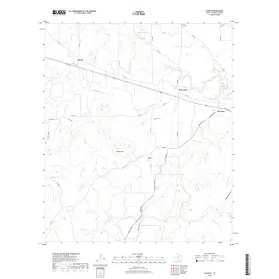
2019 Map of Algerita
USGS Topo · Published 2019About this map
The San Saba River cuts through this Central Texas landscape, anchoring a network of creek drainages and small settlements. To the north, the communities of Algerita and Harkeyville sit along the path of Co RD 204, while the western edge of San Saba appears at the eastern margin. The map reveals a deeply rooted rural infrastructure, evidenced by several small family or community burial grounds including China Creek Cem, Davidson Cem, and Wallace Creek Cem.
Find a feature on this map
47 named features on this map. Tap any name to fly to it.
Don’t see what you’re looking for? This feature index may not catch every label — zoom into the map to look around manually.
Map Details
Editions of this 2019 Algerita Map
This is the sole edition of this map. No revisions or reprints were ever made.
Other maps of this area

1885 · San Saba
USGS Topo · 1:125,000

1894 · San Saba
USGS Topo · 1:125,000

1925 · San Saba 1-c
USGS Topo · 1:48,000

1928 · Goldthwaite
USGS Topo · 1:62,500

1930 · Richland Springs
USGS Topo · 1:62,500

1931 · Bend
USGS Topo · 1:62,500

1948 · Richland Springs
USGS Topo · 1:62,500

1948 · Goldthwaite
USGS Topo · 1:62,500
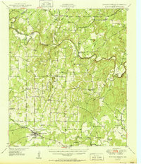
1950 · Richland Springs
USGS Topo · 1:62,500
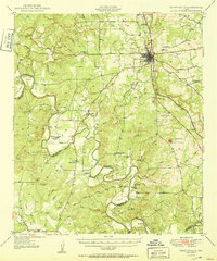
1950 · Goldthwaite
USGS Topo · 1:62,500