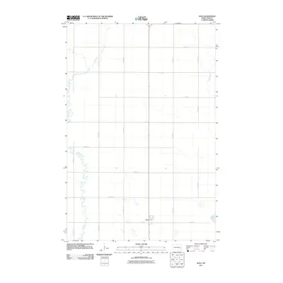
2011 Map of Alice
USGS Topo · Published 2011About this map
The settlement of Alice serves as the primary hub of activity in this prairie landscape, where the grid-based road system intersects with the town's central thoroughfares of Main Ave and 8th Ave. The terrain is defined by the meandering course of the Maple River, which winds through the western portion of the region, creating a stark visual contrast to the straight section lines of the surrounding agricultural fields. On the eastern edge, Buffalo Creek and the small basin of Lake Bertha provide additional water features in an area otherwise dominated by a network of rural roads such as 138th Ave SE and 40th St SE. The map illustrates a classic North Dakota township pattern where the natural drainage of the river systems still dictates the local geography despite the rigid overlay of the section grid.
Find a feature on this map
19 named features on this map. Tap any name to fly to it.
Don’t see what you’re looking for? This feature index may not catch every label — zoom into the map to look around manually.
Map Details
Editions of this 2011 Alice Map
This is the sole edition of this map. No revisions or reprints were ever made.
Other maps of this area

1895 · Casselton
USGS Topo · 1:125,000

1897 · Tower
USGS Topo · 1:125,000

1897 · Casselton
USGS Topo · 1:125,000

1953 · Fargo
USGS Topo · 1:250,000

1956 · Fargo
USGS Topo · 1:250,000

1961 · Sheldon NW
USGS Topo · 1:24,000

1961 · Enderlin North
USGS Topo · 1:24,000

1965 · Alice
USGS Topo · 1:24,000

1965 · Lucca
USGS Topo · 1:24,000

1965 · Tower City SW
USGS Topo · 1:24,000