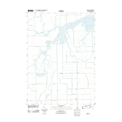
2011 Map of Alicia
USGS Topo · Published 2011About this map
The Shiawassee River and its intricate network of bayous and tributaries define the wetlands of Saginaw County. This landscape is marked by the confluence of major waterways, including the Flint River and Bad River, which wind through the lowlands alongside Swan Creek and Fairchild Creek. The drainage patterns suggest a region deeply connected to the hydraulic history of the Saginaw Valley, where artificial improvements like the Carson Drain support the agricultural character of the surrounding townships.
Find a feature on this map
48 named features on this map. Tap any name to fly to it.
Don’t see what you’re looking for? This feature index may not catch every label — zoom into the map to look around manually.
Map Details
Editions of this 2011 Alicia Map
This is the sole edition of this map. No revisions or reprints were ever made.
Other maps of this area
1917 · Chesaning
USGS Topo · 1:62,500
1917 · St. Charles
USGS Topo · 1:62,500
1919 · Saginaw
USGS Topo · 1:62,500
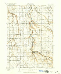
1919 · Burt
USGS Topo · 1:62,500
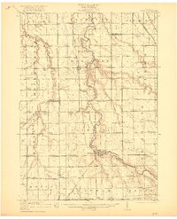
1921 · Burt
USGS Topo · 1:62,500
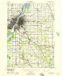
1941 · Saginaw
USGS Topo · 1:62,500
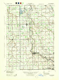
1943 · Burt
USGS Topo · 1:62,500
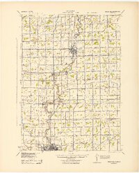
1943 · Chesaning
USGS Topo · 1:62,500
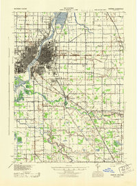
1943 · Saginaw
USGS Topo · 1:62,500
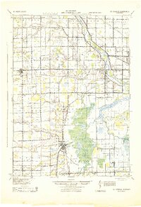
1943 · St. Charles
USGS Topo · 1:62,500
Featured Places
- Albee Township, MI
- Swan Creek Township, MI
- James Township, MI
- Spaulding Township, MI
- Saint Charles Township, MI