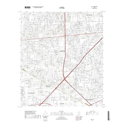
2019 Map of Alief
USGS Topo · Published 2019About this map
Houston urban development spans the Harris and Fort Bend County line, showcasing a landscape defined by residential expansion and the drainage network of the Texas Gulf Coast. Natural waterways like Buffalo Bayou, Brays Bayou, and Keegans Bayou weave through densely gridded neighborhoods, providing critical drainage for the suburban corridor. Historical pockets remain visible in the placement of the Alief Cem, Riceville Cem, and Forest Park Cem, which anchor the map amidst major thoroughfares like Westheimer Road and South Main Street. The map illustrates the maturation of established communities such as Alief, Bellaire West, and Meadows Place, showing a fully integrated metropolitan area where commercial hubs along Richmond Avenue meet suburban residential centers. This 2019 survey documents the intricate transport and drainage infrastructure required to sustain one of the most rapidly growing regions in the American South.
Find a feature on this map
37 named features on this map. Tap any name to fly to it.
Don’t see what you’re looking for? This feature index may not catch every label — zoom into the map to look around manually.
Map Details
Editions of this 2019 Alief Map
This is the sole edition of this map. No revisions or reprints were ever made.
Other maps of this area

1915 · Bellaire
USGS Topo · 1:24,000

1915 · Houston Heights
USGS Topo · 1:24,000

1915 · Alief
USGS Topo · 1:24,000

1915 · Addicks
USGS Topo · 1:24,000

1915 · Hillendahl
USGS Topo · 1:24,000

1915 · Clodine
USGS Topo · 1:24,000

1918 · Addicks
USGS Topo · 1:31,680

1918 · Hillendahl
USGS Topo · 1:31,680

1919 · Clodine
USGS Topo · 1:31,680

1920 · Almeda
USGS Topo · 1:31,680