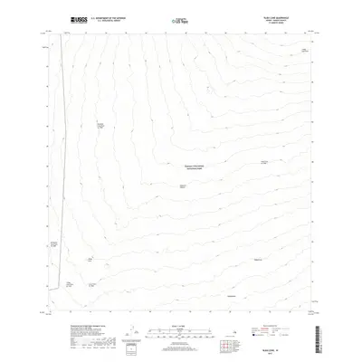
2017 Map of Alika Cone
USGS Topo · Published 2017About this map
Hawaii Volcanoes National Park dominates this high-elevation landscape on the Island of Hawai'i, where the geology of Mauna Loa’s southwest rift zone is etched into the terrain. The map serves as a chronological record of volcanic activity, tracing the distinct paths of the Ālika Lava Flow of 1919, the Lava Flow of 1926, and several major eruptions from mid-century. Significant among these are the Honokua Lava Flow of 1950 and the Ka'apuna Lava Flow of 1950, which illustrate how successive flows have reshaped the slopes. Centrally located, the Ālika Cone stands as a prominent landmark amidst the cooling basalt. The presence of features like Kīpukanēnē and Keapōhina indicates areas of older ground or vegetation that were spared by the advancing molten rock, offering a study in how the island's surface is perpetually reclaimed and transformed by volcanic forces.
Find a feature on this map
11 named features on this map. Tap any name to fly to it.
Don’t see what you’re looking for? This feature index may not catch every label — zoom into the map to look around manually.
Map Details
Editions of this 2017 Alika Cone Map
This is the sole edition of this map. No revisions or reprints were ever made.
Other maps of this area

1924 · Honuapo
USGS Topo · 1:62,500

1928 · Mauna Loa
USGS Topo · 1:62,500

1928 · Hoopuloa
USGS Topo · 1:62,500

1954 · Hawaii South
USGS Topo · 1:250,000

1959 · Hawaii South
USGS Topo · 1:250,000
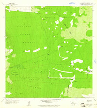
1960 · Kaunene
USGS Topo · 1:24,000

1961 · Hawaii South
USGS Topo · 1:250,000

1962 · Hawaii South
USGS Topo · 1:250,000

1962 · Papa
USGS Topo · 1:24,000
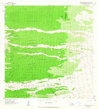
1963 · Puu Pohakuloa
USGS Topo · 1:24,000