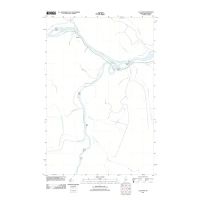
2011 Map of Allagash
USGS Topo · Published 2011About this map
The Saint John River and Allagash River converge in this northern Maine borderland, defining a landscape of complex waterways and seasonal riverbars. The community of Allagash is positioned at this major junction, while the settlement of Dickey lies to the northwest where the Little Black River joins the main stem. This area reflects a deep history of river-based transport and logging, evidenced by named landings such as Ghost Landing Bar and Depot Bar. Inland, a network of timber-management roads including Michaud Tote Rd and Yellow Line Rd provides access to the dense interior. Local heritage is grounded at sites like Bolton Cemetery and family-named river features such as Wolf Island and Gardner Island, which remain significant landmarks in this sparsely populated territory of Aroostook County.
Find a feature on this map
39 named features on this map. Tap any name to fly to it.
Don’t see what you’re looking for? This feature index may not catch every label — zoom into the map to look around manually.
Map Details
Editions of this 2011 Allagash Map
This is the sole edition of this map. No revisions or reprints were ever made.
Other maps of this area

1930 · Allagash
USGS Topo · 1:48,000

1930 · St Francis
USGS Topo · 1:48,000

1931 · Fish River Lake
USGS Topo · 1:48,000

1932 · Allagash Falls
USGS Topo · 1:48,000

1933 · Allagash
USGS Topo · 1:62,500

1933 · St Francis
USGS Topo · 1:62,500

1935 · Fish River Lake
USGS Topo · 1:62,500

1935 · Allagash Falls
USGS Topo · 1:62,500

1954 · Presque Isle
USGS Topo · 1:250,000

1956 · Allagash Falls
USGS Topo · 1:50,000