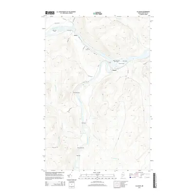
2014 Map of Allagash
USGS Topo · Published 2014About this map
The Saint John River and its confluence with the Allagash River define the topography of this northern Maine landscape. Situated in the Upper Saint John River Valley, the settlement of Allagash and the nearby community of Dickey are the primary points of habitation along the river banks. This survey details a network of local roads including Dickey Rd and Allagash Rd that connect the isolated homesteads and cemeteries of the region.
Find a feature on this map
39 named features on this map. Tap any name to fly to it.
Don’t see what you’re looking for? This feature index may not catch every label — zoom into the map to look around manually.
Map Details
Editions of this 2014 Allagash Map
This is the sole edition of this map. No revisions or reprints were ever made.
Other maps of this area

1930 · Allagash
USGS Topo · 1:48,000

1930 · St Francis
USGS Topo · 1:48,000

1931 · Fish River Lake
USGS Topo · 1:48,000

1932 · Allagash Falls
USGS Topo · 1:48,000

1933 · Allagash
USGS Topo · 1:62,500

1933 · St Francis
USGS Topo · 1:62,500

1935 · Fish River Lake
USGS Topo · 1:62,500

1935 · Allagash Falls
USGS Topo · 1:62,500

1954 · Presque Isle
USGS Topo · 1:250,000

1956 · Allagash Falls
USGS Topo · 1:50,000