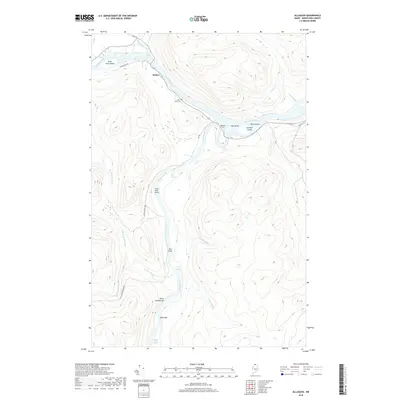
2018 Map of Allagash
USGS Topo · Published 2018About this map
Saint John River and Allagash River converge near the settlement of Dickey, a central point in this northern Maine landscape where river-driven navigation and logging history are deeply etched into the geography. The map documents a complex system of waterways, including Casey Rapids, Eliza Hole Rapids, and Twin Brook Rapids, which defined the difficulty of transport before modern roads. Local heritage is preserved at Saint Paul Cem and Bolton Cem, situated along the eastern bank of the Saint John. The presence of the Michaud Tote Rd and various river features like Ghost Landing Bar and Three Mile Island reflect the area's long-standing reliance on the river network for access and industry in the deep woods of Aroostook County.
Find a feature on this map
30 named features on this map. Tap any name to fly to it.
Don’t see what you’re looking for? This feature index may not catch every label — zoom into the map to look around manually.
Map Details
Editions of this 2018 Allagash Map
This is the sole edition of this map. No revisions or reprints were ever made.
Other maps of this area

1930 · Allagash
USGS Topo · 1:48,000

1930 · St Francis
USGS Topo · 1:48,000

1931 · Fish River Lake
USGS Topo · 1:48,000

1932 · Allagash Falls
USGS Topo · 1:48,000

1933 · Allagash
USGS Topo · 1:62,500

1933 · St Francis
USGS Topo · 1:62,500

1935 · Fish River Lake
USGS Topo · 1:62,500

1935 · Allagash Falls
USGS Topo · 1:62,500

1954 · Presque Isle
USGS Topo · 1:250,000

1956 · Allagash Falls
USGS Topo · 1:50,000