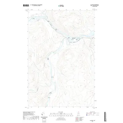
2021 Map of Allagash
USGS Topo · Published 2021About this map
The Saint John River and Allagash River converge in this northern Aroostook County landscape, defining the character of the Upper Saint John River Valley. The settlement of Dickey sits near the northern river bend, supported by a network of local routes like Dickey Rd and Allagash Rd. This modern survey illustrates the persistent importance of river navigation and timber access in the region, noting several river bars and islands such as Saint Clair Island, Ghost Landing Bar, and Depot Bar. Inland, the terrain is marked by numerous watercourses including Gerald Brook and W Twin Brook. Genealogical interests are served by the presence of the Saint Paul Catholic Cem and the Allagash Municipal Cem, which reflect the community's local heritage. Navigational hazards and river features remain prominent, from Casey Rapids to the Twin Brook Rapids further south.
Find a feature on this map
37 named features on this map. Tap any name to fly to it.
Don’t see what you’re looking for? This feature index may not catch every label — zoom into the map to look around manually.
Map Details
Editions of this 2021 Allagash Map
This is the sole edition of this map. No revisions or reprints were ever made.
Other maps of this area

1930 · Allagash
USGS Topo · 1:48,000

1930 · St Francis
USGS Topo · 1:48,000

1931 · Fish River Lake
USGS Topo · 1:48,000

1932 · Allagash Falls
USGS Topo · 1:48,000

1933 · Allagash
USGS Topo · 1:62,500

1933 · St Francis
USGS Topo · 1:62,500

1935 · Fish River Lake
USGS Topo · 1:62,500

1935 · Allagash Falls
USGS Topo · 1:62,500

1954 · Presque Isle
USGS Topo · 1:250,000

1956 · Allagash Falls
USGS Topo · 1:50,000