
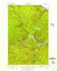
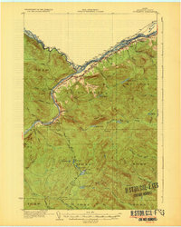
1930 Map of Allagash
USGS Topo · Published 1930About this map
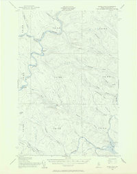
The St John River carves through the northern Maine wilderness in this 1930 survey, marking a rugged landscape of river-based commerce and isolated outposts. Along its banks, small settlements and stopping points like Dickey, St Clair, and Gardner appear, representing the community hubs of the northern frontier. Social life in these riverfront hamlets is anchored by local institutions such as St Paul Ch and the Henderson Sch, while the interior remains dominated by high peaks and watercourses.
Find a feature on this map
49 named features on this map. Tap any name to fly to it.
Don’t see what you’re looking for? This feature index may not catch every label — zoom into the map to look around manually.
Map Details
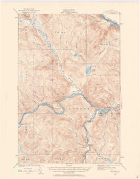
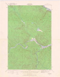
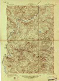
Editions of this 1930 Allagash Map
4 editions found
Other maps of this area

1930 · St Francis
USGS Topo · 1:48,000

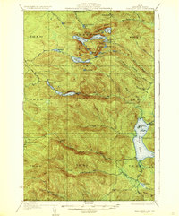
1931 · Fish River Lake
USGS Topo · 1:48,000
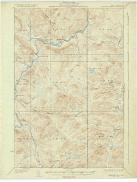
1932 · Allagash Falls
USGS Topo · 1:48,000

1933 · Allagash
USGS Topo · 1:62,500
1933 · St Francis
USGS Topo · 1:62,500
1935 · Fish River Lake
USGS Topo · 1:62,500
1935 · Allagash Falls
USGS Topo · 1:62,500

1954 · Presque Isle
USGS Topo · 1:250,000
1955 · Rocky Mountain
USGS Topo · 1:62,500
1955 · Round Pond
USGS Topo · 1:62,500