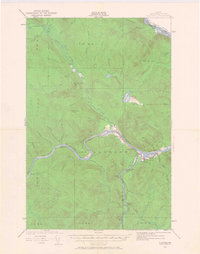
1930 Map of Allagash
USGS Topo · Published 1968About this map
The confluence of the Allagash River and the ST John River anchors this 1930 survey of northern Aroostook County, Maine. This rugged borderland where the United States and Canada meet is defined by a complex network of waterways and timber-hauling routes. The settlement of Dickey serves as a central point for river activities, while isolated structures like the Log Cabin Sch and Lindberg Sch provide evidence of the small, dispersed logging and farming communities of the early twentieth century. Extensive rapids, such as the Michaud Rapids, and family-named landmarks like Kelly Brook Mtn reflect a landscape shaped by the logging industry and river transport. Further north, the Little Black River winds through township lands, including T 18 R 11, where old camps and portage paths like the Cunliffe Tote Road underscore the area's deep ties to the deep woods economy.
Find a feature on this map
72 named features on this map. Tap any name to fly to it.
Don’t see what you’re looking for? This feature index may not catch every label — zoom into the map to look around manually.
Map Details
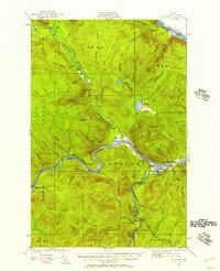
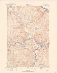
Editions of this 1930 Allagash Map
4 editions found
Other maps of this area

1930 · Allagash
USGS Topo · 1:48,000

1930 · St Francis
USGS Topo · 1:48,000

1931 · Fish River Lake
USGS Topo · 1:48,000

1932 · Allagash Falls
USGS Topo · 1:48,000

1933 · Allagash
USGS Topo · 1:62,500

1933 · St Francis
USGS Topo · 1:62,500

1935 · Fish River Lake
USGS Topo · 1:62,500

1935 · Allagash Falls
USGS Topo · 1:62,500

1954 · Presque Isle
USGS Topo · 1:250,000

1955 · Rocky Mountain
USGS Topo · 1:62,500