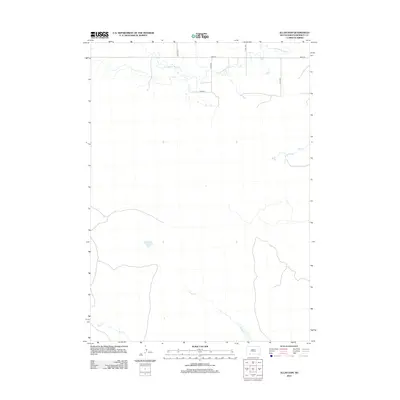
2012 Map of Allan Dam
USGS Topo · Published 2012About this map
Little White River meanders across the northern horizon of this Bennett County landscape, defining the local drainage patterns near the Nebraska border. This 2012 survey illustrates a sparse, agricultural region of South Dakota characterized by large sectioned tracts and a rectilinear road network, including 214th Ave and 296th St. The terrain is marked by isolated water bodies such as White Lake and the drainage of Heckel Cr, which flows southeastward. This map provides a clear record of modern land management in the Great Plains, where the infrastructure is primarily composed of these service roads and natural creek beds like Bear Cr and Lake Cr. The absence of dense settlement highlights the open-country nature of the area north of the state line.
Find a feature on this map
11 named features on this map. Tap any name to fly to it.
Don’t see what you’re looking for? This feature index may not catch every label — zoom into the map to look around manually.
Map Details
Editions of this 2012 Allan Dam Map
This is the sole edition of this map. No revisions or reprints were ever made.
Other maps of this area

1950 · Irwin
USGS Topo · 1:62,500

1951 · Irwin
USGS Topo · 1:62,500

1951 · Merriman
USGS Topo · 1:62,500

1955 · Martin
USGS Topo · 1:250,000

1957 · Valentine
USGS Topo · 1:250,000

1958 · Martin
USGS Topo · 1:250,000

1959 · Valentine
USGS Topo · 1:250,000

1981 · Phantom Lake
USGS Topo · 1:25,000

1981 · Martin
USGS Topo · 1:25,000

1981 · Ecoffey Lake
USGS Topo · 1:25,000