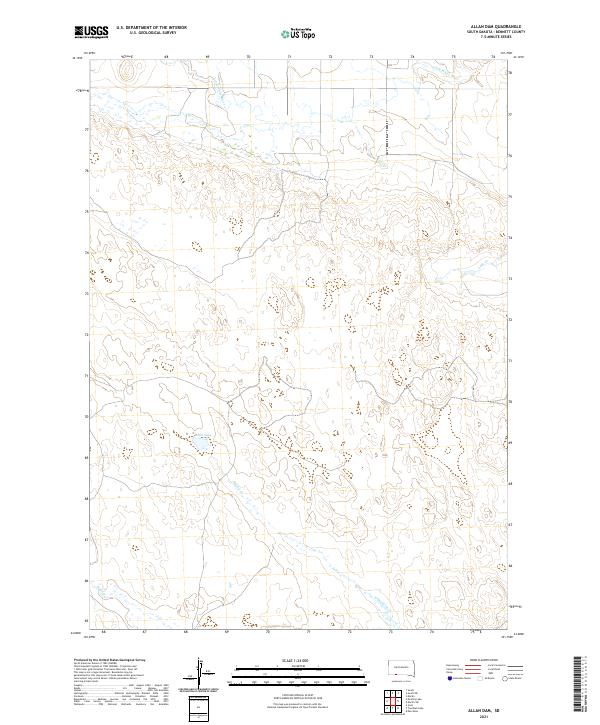
2021 Map of Allan Dam
USGS Topo · Published 2021About this map
Little White River meanders across the northern portion of this landscape in Bennett County, defining the drainage patterns of the High Plains. The terrain is characterized by a series of ephemeral and perennial watercourses, including Heckel Cr and Bear Cr, which carve through the topographical contours. The presence of White Lake and Lake Cr provides a focal point for the local hydrology within the township and range system. This 2021 survey by the U.S. Geological Survey reflects the enduring rural character of the region, where the land is largely defined by its natural water features rather than dense settlement. The map serves as a primary record of the modern hydrological state of these specific South Dakota tributaries before they join larger river systems to the east.
Find a feature on this map
9 named features on this map. Tap any name to fly to it.
Don’t see what you’re looking for? This feature index may not catch every label — zoom into the map to look around manually.
Map Details
Editions of this 2021 Allan Dam Map
This is the sole edition of this map. No revisions or reprints were ever made.
Other maps of this area

1950 · Irwin
USGS Topo · 1:62,500

1951 · Irwin
USGS Topo · 1:62,500

1951 · Merriman
USGS Topo · 1:62,500

1955 · Martin
USGS Topo · 1:250,000

1957 · Valentine
USGS Topo · 1:250,000

1958 · Martin
USGS Topo · 1:250,000

1959 · Valentine
USGS Topo · 1:250,000

1981 · Phantom Lake
USGS Topo · 1:25,000

1981 · Martin
USGS Topo · 1:25,000

1981 · Ecoffey Lake
USGS Topo · 1:25,000