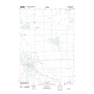
2011 Map of Allegan
USGS Topo · Published 2011About this map
The Kalamazoo River carves a winding path through the city of Allegan, serving as the central geographic feature of this West Michigan landscape. The city center is marked by several key landmarks, including the historic Second Street Bridge and the Allegan County Fairgrounds situated along a prominent river bend. This survey provides significant data for genealogists, as it identifies numerous burial grounds scattered throughout the township, such as the Allegan County Poor Farm Cemetery, Poplar Hill Cemetery, and Hudson Corners Cemetery.
Find a feature on this map
55 named features on this map. Tap any name to fly to it.
Don’t see what you’re looking for? This feature index may not catch every label — zoom into the map to look around manually.
Map Details
Editions of this 2011 Allegan Map
This is the sole edition of this map. No revisions or reprints were ever made.
Other maps of this area

1916 · Kalamazoo
USGS Topo · 1:62,500

1918 · Kalamazoo
USGS Topo · 1:62,500

1943 · Kalamazoo
USGS Topo · 1:62,500

1946 · Gobles
USGS Topo · 1:62,500

1948 · Gobles
USGS Topo · 1:62,500

1949 · Gobles
USGS Topo · 1:62,500

1958 · Allegan
USGS Topo · 1:62,500

1958 · Grand Rapids
USGS Topo · 1:250,000

1959 · Wayland
USGS Topo · 1:62,500

1961 · Grand Rapids
USGS Topo · 1:250,000