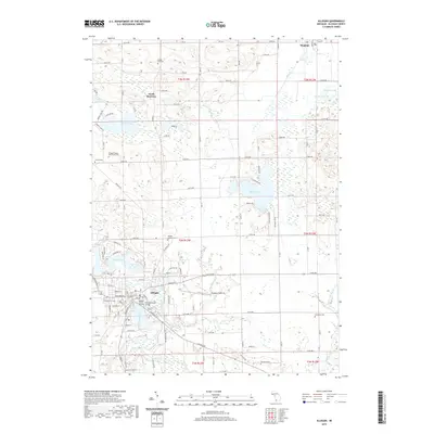
2019 Map of Allegan
USGS Topo · Published 2019About this map
Allegan serves as the focal point of this 2019 survey, situated along a prominent bend of the Kalamazoo River. The map details a landscape defined by its hydrography, from the expansive Lake Allegan in the west to the irregular shores of Miner Lake and Dumont Lake. The layout of the region reflects a transition from the structured street grid of the county seat to the open agricultural lands of the surrounding townships. Local history and genealogy are anchored by several notable burial sites, including Oakwood Cem near the city center and the Allegan County Poor Farm Cem further north. Cultural and administrative landmarks such as the Allegan County Building and the historic Second Street Bridge illustrate the community's established infrastructure. To the north, smaller settlements like South Monterey and Hopkins mark the rural reaches of the county, connected by a network of named county roads and section-line avenues.
Find a feature on this map
83 named features on this map. Tap any name to fly to it.
Don’t see what you’re looking for? This feature index may not catch every label — zoom into the map to look around manually.
Map Details
Editions of this 2019 Allegan Map
This is the sole edition of this map. No revisions or reprints were ever made.
Other maps of this area

1916 · Kalamazoo
USGS Topo · 1:62,500

1918 · Kalamazoo
USGS Topo · 1:62,500

1943 · Kalamazoo
USGS Topo · 1:62,500

1946 · Gobles
USGS Topo · 1:62,500

1948 · Gobles
USGS Topo · 1:62,500

1949 · Gobles
USGS Topo · 1:62,500

1958 · Allegan
USGS Topo · 1:62,500

1958 · Grand Rapids
USGS Topo · 1:250,000

1959 · Wayland
USGS Topo · 1:62,500

1961 · Grand Rapids
USGS Topo · 1:250,000