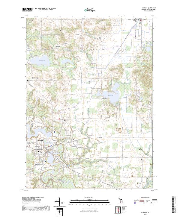
2023 Map of Allegan
USGS Topo · Published 2023About this map
The Kalamazoo River winds through the heart of the landscape here, framing the city of Allegan and its civic center, including the Allegan County Building. This 2023 survey illustrates the dense network of local roads and the enduring footprint of historic community centers, such as the Allegan County Poor Farm Cem and Hudson Corners Cem. The geography is defined by a series of significant water bodies, including Miner Lake and Lake Allegan, which are fed by numerous small tributaries like Rossman Creek and Fields Brook. North of the main settlement, the rural community of South Monterey remains a distinct point of interest, while Padgham Field serves as a key local landmark. The abundance of burial sites, from Oakwood Cem to the smaller Jewett Cem, provides a detailed record for genealogical research in this part of Michigan.
Find a feature on this map
73 named features on this map. Tap any name to fly to it.
Don’t see what you’re looking for? This feature index may not catch every label — zoom into the map to look around manually.
Map Details
Editions of this 2023 Allegan Map
This is the sole edition of this map. No revisions or reprints were ever made.
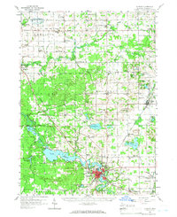
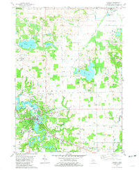
Historical Maps of Allegan Township Through Time
3 maps found