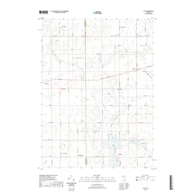
2019 Map of Allen
USGS Topo · Published 2019About this map
Quincy and Allen anchor this southern Michigan landscape, where the rural topography is defined by glacial kettle lakes and a network of small creeks. The terrain is marked by significant water bodies such as Hemlock Lake, Duck Lake, and Round Lake, which sit amidst a grid of section roads like W Chicago Rd and Jonesville Rd. The presence of several small burial grounds, including the isolated Layton Grave and the Todd Town Cem, provides valuable points of interest for genealogists tracking early families in this border region between Hillsdale and Branch counties.
Find a feature on this map
85 named features on this map. Tap any name to fly to it.
Don’t see what you’re looking for? This feature index may not catch every label — zoom into the map to look around manually.
Map Details
Editions of this 2019 Allen Map
This is the sole edition of this map. No revisions or reprints were ever made.
Other maps of this area

1948 · Spring Arbor
USGS Topo · 1:62,500

1948 · Homer
USGS Topo · 1:62,500

1949 · Homer
USGS Topo · 1:62,500

1949 · Spring Arbor
USGS Topo · 1:62,500

1953 · Fort Wayne
USGS Topo · 1:250,000

1956 · Fort Wayne
USGS Topo · 1:250,000

1958 · Grand Rapids
USGS Topo · 1:250,000

1959 · Hillsdale
USGS Topo · 1:24,000

1959 · Reading
USGS Topo · 1:24,000

1960 · Coldwater East
USGS Topo · 1:24,000