2023 Map of Allen
USGS Topo · Published 2023About this map
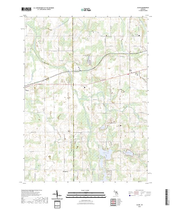
Allen serves as a central hub in this section of southern Michigan, where the intersection of E Chicago Rd and N Allen Rd anchors a landscape defined by small settlements and winding waterways. The village of Quincy occupies the western edge, while the smaller community of Stringtown sits further south. The terrain is characterized by its numerous water bodies, including the large expanse of Hemlock Lake, Duck Lake, and Round Lake, which are interconnected by the South Branch Hog Creek.
Find a feature on this map
70 named features on this map. Tap any name to fly to it.
Don’t see what you’re looking for? This feature index may not catch every label — zoom into the map to look around manually.
Map Details
Editions of this 2023 Allen Map
This is the sole edition of this map. No revisions or reprints were ever made.
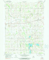
Historical Maps of Allen Through Time
Featured Locations
- Reading Township, MI
- Allen Township, MI
- Stringtown, Algansee Township
- Quincy, Quincy Township
- Allen, Allen Township