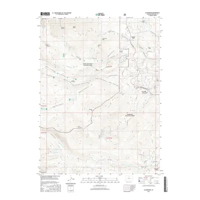
2016 Map of Allenspark
USGS Topo · Published 2016About this map
Allenspark and Ferncliff serve as the primary human centers in this high-altitude landscape where the Front Range meets the wilderness. The area is defined by the overlap of Rocky Mountain National Park and Roosevelt National Forest, showing a complex network of backcountry trails like the Bluebird Lake Trail and Sandbeach Lake Trail Access. Significant topographical features such as Mt Meeker, Pagoda Mtn, and the Copeland Moraine dominate the terrain, while the Peak To Peak Scenic Byway provides a vital transportation corridor through the mountain communities. Local landmarks like the Bunce School and the Meeker Park Sh Group reflect the region's educational and social history amidst the drainage basins of the North Saint Vrain Cr and Middle Saint Vrain Cr.
Find a feature on this map
80 named features on this map. Tap any name to fly to it.
Don’t see what you’re looking for? This feature index may not catch every label — zoom into the map to look around manually.
Map Details
Editions of this 2016 Allenspark Map
This is the sole edition of this map. No revisions or reprints were ever made.
Other maps of this area

1902 · Boulder
USGS Topo · 1:62,500

1904 · Boulder
USGS Topo · 1:62,500

1905 · Mount Olympus
USGS Topo · 1:62,500

1907 · Mount Olympus
USGS Topo · 1:62,500

1915 · Longs Peak
USGS Topo · 1:125,000

1919 · Rocky Mountain National Park
USGS Topo · 1:125,000

1954 · Greeley
USGS Topo · 1:250,000

1957 · Greeley
USGS Topo · 1:250,000

1957 · Mc Henrys Peak
USGS Topo · 1:24,000

1957 · Allens Park
USGS Topo · 1:24,000