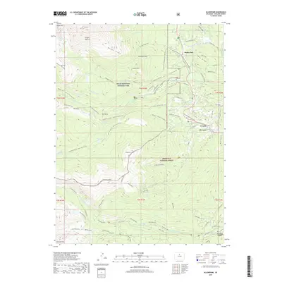
2019 Map of Allenspark
USGS Topo · Published 2019About this map
Allenspark and Ferncliff serve as the primary human anchors on this high-elevation landscape, where the front range of the Rockies transitions into protected wilderness. The geography is defined by the massive Rocky Mountain National Park and Roosevelt National Forest, containing significant landmarks like the St Vrain Glacier and the distinctively named Dragons Egg Rock. The map illustrates a complex network of glacial and fluvial features, from the Copeland Moraine to numerous alpine water bodies such as Sandbeach Lake and Finch Lake.
Find a feature on this map
109 named features on this map. Tap any name to fly to it.
Don’t see what you’re looking for? This feature index may not catch every label — zoom into the map to look around manually.
Map Details
Editions of this 2019 Allenspark Map
This is the sole edition of this map. No revisions or reprints were ever made.
Other maps of this area

1902 · Boulder
USGS Topo · 1:62,500

1904 · Boulder
USGS Topo · 1:62,500

1905 · Mount Olympus
USGS Topo · 1:62,500

1907 · Mount Olympus
USGS Topo · 1:62,500

1915 · Longs Peak
USGS Topo · 1:125,000

1919 · Rocky Mountain National Park
USGS Topo · 1:125,000

1954 · Greeley
USGS Topo · 1:250,000

1957 · Greeley
USGS Topo · 1:250,000

1957 · Mc Henrys Peak
USGS Topo · 1:24,000

1957 · Allens Park
USGS Topo · 1:24,000